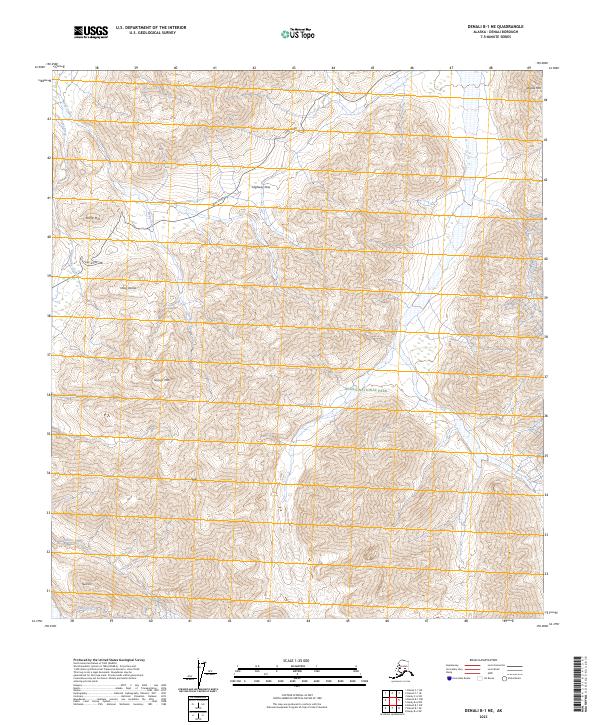
2023 Map of Denali B-1 NE
USGS Topo · Published 2023About this map
Park Road winds through the high alpine corridor of this section of the Denali Wilderness and Denali National Park, reaching its crest at Highway Pass. This 2023 survey illustrates the dramatic elevation changes and hydrology of the Alaska Range, where the terrain is punctuated by significant summits like Gravel Mtn, Bald Mtn, and Divide Mtn. The landscape is defined by its drainage systems, including Stony Creek, Gorge Creek, and Sunrise Creek, which carve through the valleys between prominent landmarks such as Stony Hill and Stony Dome. The presence of Fault Creek at the southern edge of the sheet suggests the underlying geological activity that has shaped these peaks. This map serves as a contemporary record of the high-altitude infrastructure and natural topography within one of Alaska's most protected wilderness areas.
Find a feature on this map
20 named features on this map. Tap any name to fly to it.
Don’t see what you’re looking for? This feature index may not catch every label — zoom into the map to look around manually.
Map Details
Editions of this 2023 Denali B-1 NE Map
This is the sole edition of this map. No revisions or reprints were ever made.
Other maps of this area

1951 · Healy
USGS Topo · 1:250,000

1952 · Mount McKinley
USGS Topo · 1:250,000

1952 · Mount McKinley B-1
USGS Topo · 1:63,360

1952 · Mount McKinley C-1
USGS Topo · 1:63,360

1954 · Healy C-6
USGS Topo · 1:63,360

1954 · Healy B-6
USGS Topo · 1:63,360

1954 · Mount McKinley C-1
USGS Topo · 1:63,360

1954 · Mount McKinley B-1
USGS Topo · 1:63,360

1956 · Healy
USGS Topo · 1:250,000

1958 · Mount McKinley
USGS Topo · 1:250,000