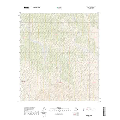
2023 Map of Denali B-3 SW
USGS Topo · Published 2023About this map
Denali National Park and the protected Denali Wilderness comprise the vast majority of this landscape, showcasing the interior of Alaska in the early 21st century. The terrain is defined by a dense network of braided waterways and seasonal wetlands, with Birch Creek winding through the western portion of the quadrangle. As the land rises toward the south, the topography shifts from lower-lying drainage basins into more pronounced elevations. This region remains largely undeveloped, preserving a primitive environment where Slippery Creek and Iron Creek flow across the northeastern sections. The map serves as a precise record of the hydrography and federally managed boundaries within the Alaska Range foothills, reflecting the modern conservation status of this subarctic wilderness.
Find a feature on this map
11 named features on this map. Tap any name to fly to it.
Don’t see what you’re looking for? This feature index may not catch every label — zoom into the map to look around manually.
Map Details
Editions of this 2023 Denali B-3 SW Map
This is the sole edition of this map. No revisions or reprints were ever made.
Other maps of this area

1952 · Mount McKinley
USGS Topo · 1:250,000

1953 · Mount McKinley B-4
USGS Topo · 1:63,360

1953 · Mount McKinley B-3
USGS Topo · 1:63,360

1953 · Mount McKinley A-4
USGS Topo · 1:63,360

1954 · Mount McKinley A-4
USGS Topo · 1:63,360

1954 · Mount McKinley B-3
USGS Topo · 1:63,360

1954 · Mount McKinley A-3
USGS Topo · 1:63,360

1958 · Mount McKinley
USGS Topo · 1:250,000

1969 · Mount McKinley
USGS Topo · 1:250,000
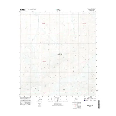
2015 · Denali A-3 NE
USGS Topo · 1:25,000