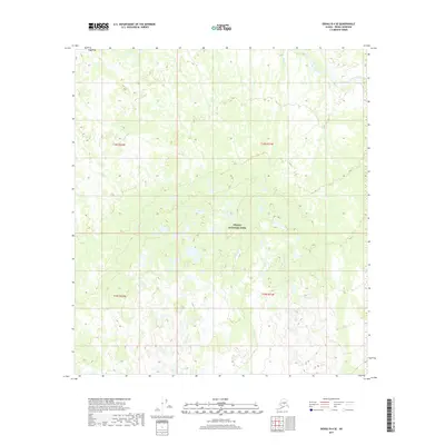
2017 Map of Denali B-4 SE
USGS Topo · Published 2017About this map
Denali National Park encompasses the majority of this Alaskan landscape, where the terrain is defined by a dense network of glacial meltwater streams and wetlands. The drainage pattern is complex, with Hauke Cr winding through the center and eastern portions of the quadrangle. To the north and west, Birch Creek and Hult Cr cut through the high-elevation contours, illustrating the hydrologic flow within this protected wilderness area. This 2017 study provides a precise topographic record of the shifting wetland boundaries and stream paths before more recent environmental changes. The map serves as a vital reference for understanding the geography of the Denali Borough, focusing on the preservation of natural waterways in one of the nation's most iconic interior parks.
Find a feature on this map
8 named features on this map. Tap any name to fly to it.
Don’t see what you’re looking for? This feature index may not catch every label — zoom into the map to look around manually.
Map Details
Editions of this 2017 Denali B-4 SE Map
This is the sole edition of this map. No revisions or reprints were ever made.
Other maps of this area

1952 · Mount McKinley
USGS Topo · 1:250,000

1953 · Mount McKinley B-4
USGS Topo · 1:63,360

1953 · Mount McKinley B-3
USGS Topo · 1:63,360

1953 · Mount McKinley A-4
USGS Topo · 1:63,360

1954 · Mount McKinley A-4
USGS Topo · 1:63,360

1954 · Mount McKinley B-3
USGS Topo · 1:63,360

1954 · Mount McKinley A-3
USGS Topo · 1:63,360

1958 · Mount McKinley
USGS Topo · 1:250,000

1969 · Mount McKinley
USGS Topo · 1:250,000
2015 · Denali B-3 SW
USGS Topo · 1:25,000