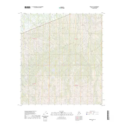
2023 Map of Denali B-4 SE
USGS Topo · Published 2023About this map
Denali National Park and the Denali Wilderness define this landscape, where the braided channels of glacial meltwater carve through the terrain. The topography is dominated by several significant watercourses, including the southward-flowing Birch Creek and Hauke Creek, which intersect a complex network of wetlands and high-elevation contours. The land survey reveals the intersections of t18s r22w and t18s r21w, reflecting the systematic mapping of this protected interior. This survey provides a modern snapshot of the natural drainage patterns across Hult Creek and Hill Creek in a region strictly managed for its wilderness character and ecological integrity.
Find a feature on this map
10 named features on this map. Tap any name to fly to it.
Don’t see what you’re looking for? This feature index may not catch every label — zoom into the map to look around manually.
Map Details
Editions of this 2023 Denali B-4 SE Map
This is the sole edition of this map. No revisions or reprints were ever made.
Other maps of this area

1952 · Mount McKinley
USGS Topo · 1:250,000

1953 · Mount McKinley B-4
USGS Topo · 1:63,360

1953 · Mount McKinley B-3
USGS Topo · 1:63,360

1953 · Mount McKinley A-4
USGS Topo · 1:63,360

1954 · Mount McKinley A-4
USGS Topo · 1:63,360

1954 · Mount McKinley B-3
USGS Topo · 1:63,360

1954 · Mount McKinley A-3
USGS Topo · 1:63,360

1958 · Mount McKinley
USGS Topo · 1:250,000

1969 · Mount McKinley
USGS Topo · 1:250,000
2015 · Denali B-3 SW
USGS Topo · 1:25,000