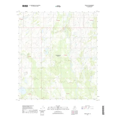
2017 Map of Denali B-5 NW
USGS Topo · Published 2017About this map
Denali National Preserve encompasses a significant portion of this interior Alaskan landscape, where complex braided river systems and small glacial lakes define the drainage patterns. The Herron River flows north through the central and eastern sections, joined by tributaries such as Wolf Cr. To the west, Highpower Cr meanders through a terrain dotted with water bodies like Little Long Lake and Burnt Lake. The absence of roads or permanent structures reflects the protected and primitive character of the preserve during this period. Topographic detail reveals the subtle elevation changes of the lowlands as they transition between these major waterways, providing a precise record of the hydrography before potential shifts in the permafrost or channel migration altered the landscape.
Find a feature on this map
13 named features on this map. Tap any name to fly to it.
Don’t see what you’re looking for? This feature index may not catch every label — zoom into the map to look around manually.
Map Details
Editions of this 2017 Denali B-5 NW Map
This is the sole edition of this map. No revisions or reprints were ever made.
Other maps of this area

1952 · Mount McKinley
USGS Topo · 1:250,000

1953 · Mount McKinley C-5
USGS Topo · 1:63,360

1953 · Mount McKinley B-5
USGS Topo · 1:63,360

1954 · Mount McKinley B-5
USGS Topo · 1:63,360

1954 · Mount McKinley C-5
USGS Topo · 1:63,360

1958 · Mount McKinley B-6
USGS Topo · 1:63,360

1958 · Mount McKinley C-6
USGS Topo · 1:63,360

1958 · Mount McKinley
USGS Topo · 1:250,000

1969 · Mount McKinley
USGS Topo · 1:250,000
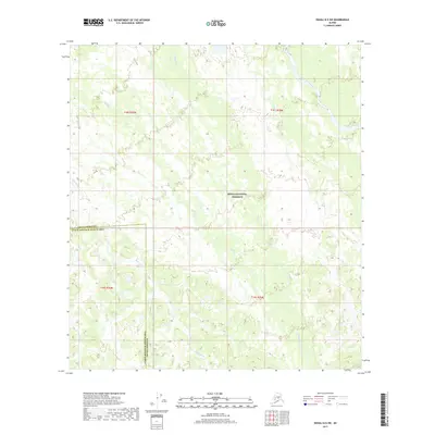
2017 · Denali B-5 SW
USGS Topo · 1:25,000