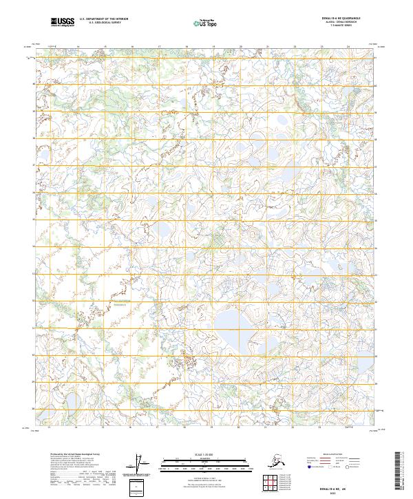
2023 Map of Denali B-6 NE
USGS Topo · Published 2023About this map
Denali National Preserve defines the character of this interior landscape, where a dense network of watercourses drains toward the northwest. The terrain is characterized by the meandering Shishona River and the Fish River, which navigate a complex system of marshes and lowlands. This hydrologic pattern is punctuated by Carey Lake, the most prominent standing water body in the quadrangle, situated amongst numerous unnamed ponds and wetlands.
Find a feature on this map
13 named features on this map. Tap any name to fly to it.
Don’t see what you’re looking for? This feature index may not catch every label — zoom into the map to look around manually.
Map Details
Editions of this 2023 Denali B-6 NE Map
This is the sole edition of this map. No revisions or reprints were ever made.
Other maps of this area

1952 · Mount McKinley
USGS Topo · 1:250,000

1953 · Mount McKinley C-5
USGS Topo · 1:63,360

1953 · Mount McKinley B-5
USGS Topo · 1:63,360

1954 · Mount McKinley B-5
USGS Topo · 1:63,360

1954 · Mount McKinley C-5
USGS Topo · 1:63,360

1958 · Mount McKinley B-6
USGS Topo · 1:63,360

1958 · Mount McKinley C-6
USGS Topo · 1:63,360

1958 · Mount McKinley
USGS Topo · 1:250,000

1969 · Mount McKinley
USGS Topo · 1:250,000
2017 · Denali B-5 SW
USGS Topo · 1:25,000