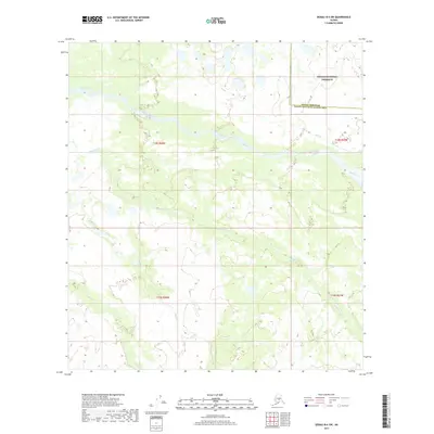
2017 Map of Denali B-6 SW
USGS Topo · Published 2017About this map
The Denali National Preserve defines the northeastern portion of this wilderness landscape, marking a transition into protected interior lands. The area is characterized by a complex network of waterways, where the Swift Fork and Slow Fork meander through the terrain. These major channels are supported by smaller tributaries including Telidaside Cr, Middle Cr, and Dry Cr. This 2017 survey documents the hydraulic patterns and topographical details of the Denali Borough Yukon-Koyukuk Census Area boundary, illustrating how the natural drainage systems cross jurisdictional lines in this remote part of Alaska.
Find a feature on this map
11 named features on this map. Tap any name to fly to it.
Don’t see what you’re looking for? This feature index may not catch every label — zoom into the map to look around manually.
Map Details
Editions of this 2017 Denali B-6 SW Map
This is the sole edition of this map. No revisions or reprints were ever made.
Other maps of this area

1950 · Medfra
USGS Topo · 1:250,000

1952 · Mount McKinley
USGS Topo · 1:250,000

1958 · Medfra A-1
USGS Topo · 1:63,360

1958 · Mount McKinley B-6
USGS Topo · 1:63,360

1958 · Mount McKinley A-6
USGS Topo · 1:63,360

1958 · Mount McKinley
USGS Topo · 1:250,000

1958 · Medfra B-1
USGS Topo · 1:63,360

1959 · Medfra
USGS Topo · 1:250,000

1969 · Mount McKinley
USGS Topo · 1:250,000
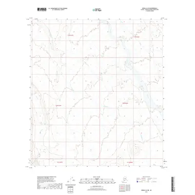
2017 · Denali A-6 NE
USGS Topo · 1:25,000