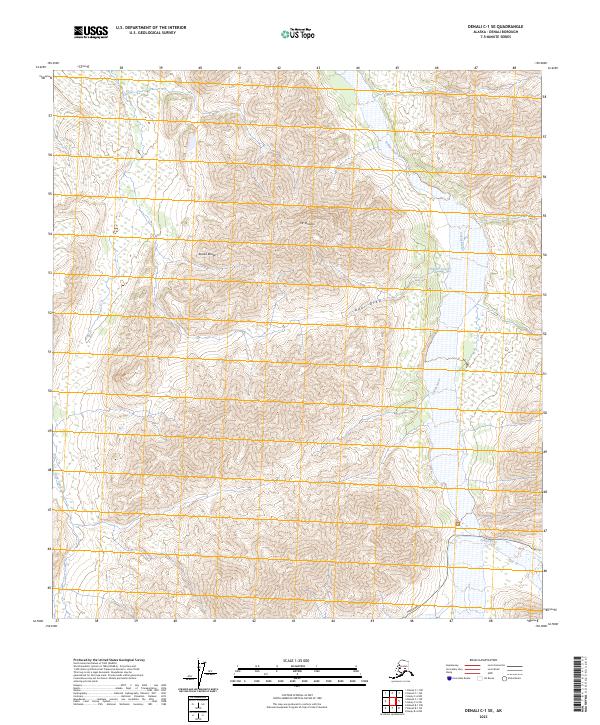
2023 Map of Denali C-1 SE
USGS Topo · Published 2023About this map
Denali Wilderness occupies much of this terrain within the Alaska Range, where high-elevation peaks and glacial drainages define the landscape. The prominent Mt Sheldon stands as a central landmark, flanked to the south by the deep incision of Bear Draw. This area serves as a critical corridor for northern interior hydrography, with the braided channels of the Toklat River flowing northward through the eastern portion of the sheet. The southern edge of the map includes a segment of the Park Road, the primary terrestrial artery through this protected landscape. To the west, Stony Creek cuts through the ridges, while smaller tributaries like Sheldon Creek and Cabin Creek feed the larger river systems. The lack of permanent structures emphasizes the preserved state of these interior Alaskan townships.
Find a feature on this map
13 named features on this map. Tap any name to fly to it.
Don’t see what you’re looking for? This feature index may not catch every label — zoom into the map to look around manually.
Map Details
Editions of this 2023 Denali C-1 SE Map
This is the sole edition of this map. No revisions or reprints were ever made.
Other maps of this area

1951 · Healy
USGS Topo · 1:250,000

1952 · Mount McKinley
USGS Topo · 1:250,000

1952 · Mount McKinley B-1
USGS Topo · 1:63,360

1952 · Mount McKinley C-1
USGS Topo · 1:63,360

1954 · Healy C-6
USGS Topo · 1:63,360

1954 · Healy B-6
USGS Topo · 1:63,360

1954 · Mount McKinley C-1
USGS Topo · 1:63,360

1954 · Mount McKinley B-1
USGS Topo · 1:63,360

1956 · Healy
USGS Topo · 1:250,000

1958 · Mount McKinley
USGS Topo · 1:250,000