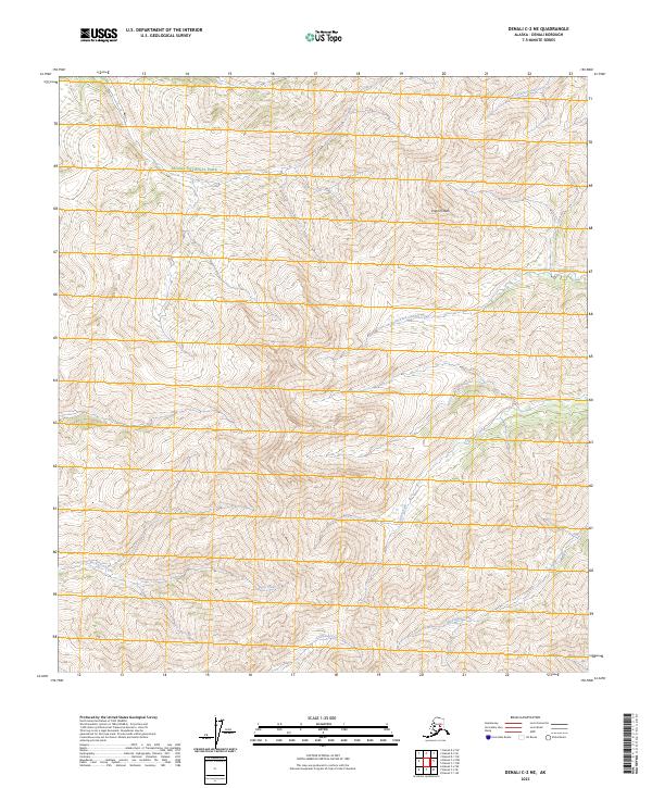
2023 Map of Denali C-2 NE
USGS Topo · Published 2023About this map
Denali National Park encompasses the majority of this high-elevation landscape, where the drainage patterns of the Alaska Range define the topography. The terrain is dominated by the prominence of Pilgrim Peak, which serves as a central landmark amidst a complex network of glacial and snow-fed streams. The map reveals a wild, roadless interior characterized by significant watercourses including Canyon Creek and its tributary, North Fork Canyon Creek.
Find a feature on this map
16 named features on this map. Tap any name to fly to it.
Don’t see what you’re looking for? This feature index may not catch every label — zoom into the map to look around manually.
Map Details
Editions of this 2023 Denali C-2 NE Map
This is the sole edition of this map. No revisions or reprints were ever made.
Other maps of this area

1951 · Mount McKinley D-1
USGS Topo · 1:63,360

1952 · Mount McKinley
USGS Topo · 1:250,000

1952 · Mount McKinley C-1
USGS Topo · 1:63,360

1952 · Mount McKinley C-2
USGS Topo · 1:63,360

1954 · Mount McKinley D-2
USGS Topo · 1:63,360

1954 · Mount McKinley D-1
USGS Topo · 1:63,360

1954 · Mount McKinley C-1
USGS Topo · 1:63,360

1954 · Mount McKinley C-2
USGS Topo · 1:63,360

1958 · Mount McKinley
USGS Topo · 1:250,000

1969 · Mount McKinley
USGS Topo · 1:250,000