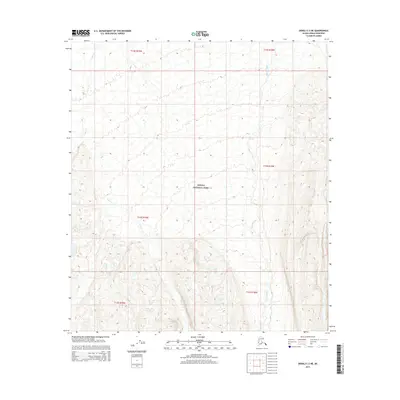
2015 Map of Denali C-3 NE
USGS Topo · Published 2015About this map
Denali National Park encompasses the majority of this landscape, where a network of high-elevation glacial runoff and remote stream systems defines the topography. The northern reaches are shaped by the flow of Moose Creek and Bear Cr, while the southeast is marked by the presence of Glacier Cr and Flat Cr. This 2015 survey illustrates the drainage patterns and township grids across a wilderness area largely devoid of permanent human settlement or modern infrastructure. The map provides a detailed record of the natural hydrology and elevation contours as they existed within the protected park boundaries during the early 21st century.
Find a feature on this map
11 named features on this map. Tap any name to fly to it.
Don’t see what you’re looking for? This feature index may not catch every label — zoom into the map to look around manually.
Map Details
Editions of this 2015 Denali C-3 NE Map
This is the sole edition of this map. No revisions or reprints were ever made.
Other maps of this area

1952 · Mount McKinley
USGS Topo · 1:250,000

1952 · Mount McKinley C-3
USGS Topo · 1:63,360

1952 · Mount McKinley C-2
USGS Topo · 1:63,360

1952 · Mount McKinley D-3
USGS Topo · 1:63,360

1954 · Mount McKinley D-2
USGS Topo · 1:63,360

1954 · Mount McKinley C-2
USGS Topo · 1:63,360

1958 · Mount McKinley
USGS Topo · 1:250,000

1969 · Mount McKinley
USGS Topo · 1:250,000
2015 · Denali C-3 SE
USGS Topo · 1:25,000
2015 · Denali D-3 SE
USGS Topo · 1:25,000