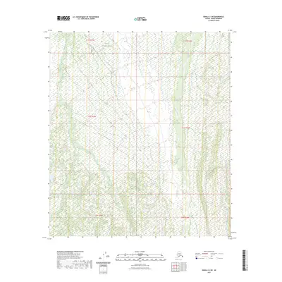
2023 Map of Denali C-3 NE
USGS Topo · Published 2023About this map
Denali National Park encompasses the northern portion of this interior Alaskan landscape, where the terrain is defined by a complex network of glacial drainage. The waterway of Moose Creek dominates the eastern half of the quadrangle, winding south through the wilderness alongside Flint Creek. To the west, the headwaters of Bear Creek carve through the high country. This map primarily serves as a record of the natural topography and the Public Land Survey System divisions, including sections of t13s r19w and t14s r18w. The absence of roads or permanent settlements in this 2023 survey underscores the preserved, undeveloped state of this segment of the Alaska Range foothills.
Find a feature on this map
10 named features on this map. Tap any name to fly to it.
Don’t see what you’re looking for? This feature index may not catch every label — zoom into the map to look around manually.
Map Details
Editions of this 2023 Denali C-3 NE Map
This is the sole edition of this map. No revisions or reprints were ever made.
Other maps of this area

1952 · Mount McKinley
USGS Topo · 1:250,000

1952 · Mount McKinley C-3
USGS Topo · 1:63,360

1952 · Mount McKinley C-2
USGS Topo · 1:63,360

1952 · Mount McKinley D-3
USGS Topo · 1:63,360

1954 · Mount McKinley D-2
USGS Topo · 1:63,360

1954 · Mount McKinley C-2
USGS Topo · 1:63,360

1958 · Mount McKinley
USGS Topo · 1:250,000

1969 · Mount McKinley
USGS Topo · 1:250,000
2015 · Denali C-3 SE
USGS Topo · 1:25,000
2015 · Denali D-3 SE
USGS Topo · 1:25,000