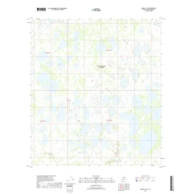
2017 Map of Denali C-6 SE
USGS Topo · Published 2017About this map
Denali National Preserve contains a vast complex of glacial lakes and braided stream systems within this interior Alaskan wilderness. The landscape is defined by its distinct hydrography, where larger bodies of water like Blackfish Lake, Carls Cache Lake, and Otter Lake are connected by seasonal drainages such as Deep Cr and Lonestar Cr. The map reveals a characteristic northern wetland pattern, with dozens of unnamed kettle ponds surrounding the larger Sprucefish Lake and Long Lake. This 2017 survey provides a precise record of the shoreline boundaries for Big Lake and Fish Lake before further environmental shifts. The absence of roads or permanent structures underscores the remote nature of this portion of the preserve, where drainage flows toward Highpower Cr in the southern reaches of the quadrangle.
Find a feature on this map
16 named features on this map. Tap any name to fly to it.
Don’t see what you’re looking for? This feature index may not catch every label — zoom into the map to look around manually.
Map Details
Editions of this 2017 Denali C-6 SE Map
This is the sole edition of this map. No revisions or reprints were ever made.
Other maps of this area

1952 · Mount McKinley
USGS Topo · 1:250,000

1953 · Mount McKinley C-5
USGS Topo · 1:63,360

1953 · Mount McKinley B-5
USGS Topo · 1:63,360

1954 · Mount McKinley B-5
USGS Topo · 1:63,360

1954 · Mount McKinley C-5
USGS Topo · 1:63,360

1958 · Mount McKinley B-6
USGS Topo · 1:63,360

1958 · Mount McKinley C-6
USGS Topo · 1:63,360

1958 · Mount McKinley
USGS Topo · 1:250,000

1969 · Mount McKinley
USGS Topo · 1:250,000
2017 · Denali C-6 NE
USGS Topo · 1:25,000