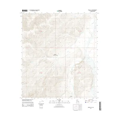
2015 Map of Denali D-1 SW
USGS Topo · Published 2015About this map
Denali National Park encompasses the majority of this interior Alaskan landscape, where a dense network of glacial and mountain streams carves through the high-elevation terrain. The Toklat River and its major tributary, the Clearwater Fork, dominate the eastern and southern drainage patterns, illustrating the complex hydrography of the Alaska Range foothills. The presence of the Stampede Airport in the south-central portion of the map highlights the critical role of bush aviation in accessing these protected lands, where road infrastructure is absent.
Find a feature on this map
14 named features on this map. Tap any name to fly to it.
Don’t see what you’re looking for? This feature index may not catch every label — zoom into the map to look around manually.
Map Details
Editions of this 2015 Denali D-1 SW Map
This is the sole edition of this map. No revisions or reprints were ever made.
Other maps of this area

1951 · Mount McKinley D-1
USGS Topo · 1:63,360

1952 · Mount McKinley
USGS Topo · 1:250,000

1952 · Mount McKinley C-1
USGS Topo · 1:63,360

1952 · Mount McKinley C-2
USGS Topo · 1:63,360

1954 · Mount McKinley D-2
USGS Topo · 1:63,360

1954 · Mount McKinley D-1
USGS Topo · 1:63,360

1954 · Mount McKinley C-1
USGS Topo · 1:63,360

1954 · Mount McKinley C-2
USGS Topo · 1:63,360

1958 · Mount McKinley
USGS Topo · 1:250,000

1969 · Mount McKinley
USGS Topo · 1:250,000