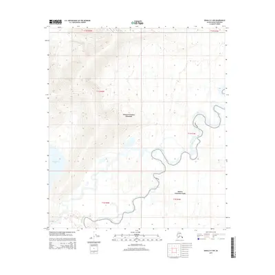
2015 Map of Denali D-3 NW
USGS Topo · Published 2015About this map
The Kantishna River meanders sharply across this subarctic terrain, defining the hydrologic character of the interior landscape. The river creates a complex network of oxbows and wetlands as it flows through the southeastern portion of the map, situated within the protected boundaries of Denali National Park. Further north and west, the terrain transitions into the Denali National Preserve, where the elevation begins to rise into more defined ridgelines. In the southwestern corner, Chilchukabena Lake sits at the base of these rising slopes. This 2015 survey by the U.S. Geological Survey captures a region defined by its lack of human infrastructure, focusing instead on the intersection of the national park and preserve systems in the Alaska interior.
Find a feature on this map
10 named features on this map. Tap any name to fly to it.
Don’t see what you’re looking for? This feature index may not catch every label — zoom into the map to look around manually.
Map Details
Editions of this 2015 Denali D-3 NW Map
This is the sole edition of this map. No revisions or reprints were ever made.
Other maps of this area

1948 · Kantishna River
USGS Topo · 1:250,000

1951 · Kantishna River
USGS Topo · 1:250,000

1952 · Mount McKinley
USGS Topo · 1:250,000

1952 · Kantishna River A-3
USGS Topo · 1:63,360

1952 · Kantishna River
USGS Topo · 1:250,000

1952 · Mount McKinley D-3
USGS Topo · 1:63,360

1953 · Kantishna River A-4
USGS Topo · 1:63,360

1953 · Mount McKinley D-4
USGS Topo · 1:63,360

1953 · Kantishna River A-3
USGS Topo · 1:63,360

1954 · Mount McKinley D-4
USGS Topo · 1:63,360