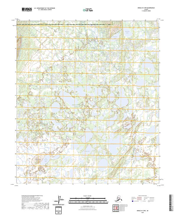
2023 Map of Denali D-4 NW
USGS Topo · Published 2023About this map
Denali National Preserve encompasses much of this interior Alaskan landscape, characterized by an intricate network of wetlands and small water bodies. The Muddy River winds through the northern and western reaches, feeding into a dense concentration of lakes such as the Beaverlog Lakes, Billberg Lake, and Gosling Lake. This high-resolution survey captures the transition from the low-lying river valley to the more defined terrain of Sevenmile Hill and the area near Tso' Ch'ekan' Bene' in the southwest. The boundary between Yukon-Koyukuk and Denali counties bisects the upper portion of the map, marking a remote administrative line across the subarctic wilderness. The absence of roads or permanent settlements highlights the protected, untouched state of the preserve at the time of this mapping.
Find a feature on this map
16 named features on this map. Tap any name to fly to it.
Don’t see what you’re looking for? This feature index may not catch every label — zoom into the map to look around manually.
Map Details
Editions of this 2023 Denali D-4 NW Map
This is the sole edition of this map. No revisions or reprints were ever made.
Other maps of this area

1948 · Kantishna River
USGS Topo · 1:250,000

1951 · Kantishna River
USGS Topo · 1:250,000

1952 · Mount McKinley
USGS Topo · 1:250,000

1952 · Kantishna River
USGS Topo · 1:250,000

1952 · Kantishna River A-5
USGS Topo · 1:63,360

1953 · Kantishna River A-4
USGS Topo · 1:63,360

1953 · Mount McKinley D-5
USGS Topo · 1:63,360

1953 · Mount McKinley D-4
USGS Topo · 1:63,360

1954 · Mount McKinley D-4
USGS Topo · 1:63,360

1954 · Mount McKinley D-5
USGS Topo · 1:63,360