
1952 Map of Kantishna River A-5
USGS Topo · Published 1957About this map
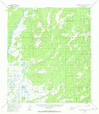
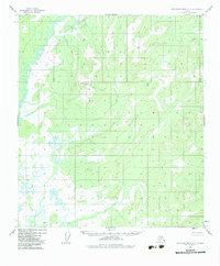
The North Fork Kuskokwim River meanders through the northwest corner of this interior Alaskan landscape, creating a complex network of oxbow lakes and marshy wetlands in its floodplains. This 1952 topographic study, compiled by the U.S. Geological Survey from 1954 multiplex aerial photography, captures the wilderness character of the region before significant modern development. Central to the quadrangle is the prominent massif of Haystack Mountain, which rises as a distinct landmark above the surrounding ridges and valleys. The map reveals an intricate drainage system with hundreds of unnamed small lakes and ponds, particularly dense in the lowlands surrounding the river's path, illustrating the hydrologic patterns of the Alaska-Fourth Judicial Division at mid-century.
Find a feature on this map
2 named features on this map. Tap any name to fly to it.
Don’t see what you’re looking for? This feature index may not catch every label — zoom into the map to look around manually.
Map Details
Editions of this 1952 Kantishna River A-5 Map
3 editions found
Other maps of this area

1948 · Kantishna River
USGS Topo · 1:250,000

1951 · Kantishna River
USGS Topo · 1:250,000

1952 · Mount McKinley
USGS Topo · 1:250,000

1952 · Kantishna River
USGS Topo · 1:250,000

1952 · Kantishna River B-6
USGS Topo · 1:63,360

1952 · Kantishna River A-6
USGS Topo · 1:63,360

1952 · Kantishna River B-5
USGS Topo · 1:63,360

1953 · Kantishna River B-4
USGS Topo · 1:63,360

1953 · Kantishna River A-4
USGS Topo · 1:63,360

1953 · Mount McKinley D-5
USGS Topo · 1:63,360