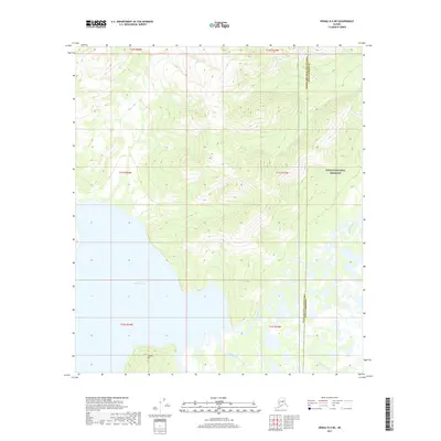
2017 Map of Denali D-5 NE
USGS Topo · Published 2017About this map
Lake Minchumina dominates the western portion of this subarctic landscape, where its southern waters meet a complex network of wetlands and meandering waterways. The map illustrates the wilderness boundary between the Yukon-Koyukuk Census Area and the Denali Borough, a line that cuts through the northern reaches of the Denali National Preserve. The hydrography of the region is defined by the Muddy River and Foraker River, which snake through the low-lying interior plains. Rising above the flat, saturated terrain near the lake's southern shore, Yatokh Hill provides a singular point of relief in an area otherwise characterized by braided streams and shifting channels, such as Spence Creek. This 2017 survey captures the remote character of the Alaskan interior before any significant modern road infrastructure reached these protected lands.
Find a feature on this map
13 named features on this map. Tap any name to fly to it.
Don’t see what you’re looking for? This feature index may not catch every label — zoom into the map to look around manually.
Map Details
Editions of this 2017 Denali D-5 NE Map
This is the sole edition of this map. No revisions or reprints were ever made.
Other maps of this area

1948 · Kantishna River
USGS Topo · 1:250,000

1951 · Kantishna River
USGS Topo · 1:250,000

1952 · Mount McKinley
USGS Topo · 1:250,000

1952 · Kantishna River
USGS Topo · 1:250,000

1952 · Kantishna River A-5
USGS Topo · 1:63,360

1953 · Kantishna River A-4
USGS Topo · 1:63,360

1953 · Mount McKinley D-5
USGS Topo · 1:63,360

1953 · Mount McKinley D-4
USGS Topo · 1:63,360

1954 · Mount McKinley D-4
USGS Topo · 1:63,360

1954 · Mount McKinley D-5
USGS Topo · 1:63,360