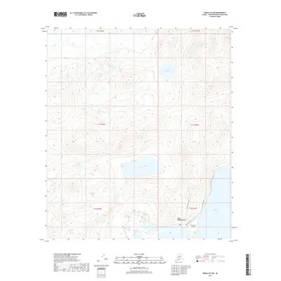
2017 Map of Denali D-5 NW
USGS Topo · Published 2017About this map
Lake Minchumina anchors the southern reaches of this interior landscape, serving as a focal point for the small settlement and aviation hub in the Yukon-Koyukuk region. The shoreline is defined by sparse infrastructure, including Lake Shore Drive and local connectors like Airport Access Road, which lead to the Minchumina Airport. This essential transport link connects the remote community to the wider Alaskan interior, where travel often depends on air and water routes rather than an extensive road network.
Find a feature on this map
15 named features on this map. Tap any name to fly to it.
Don’t see what you’re looking for? This feature index may not catch every label — zoom into the map to look around manually.
Map Details
Editions of this 2017 Denali D-5 NW Map
This is the sole edition of this map. No revisions or reprints were ever made.
Other maps of this area
1948 · Kantishna River
USGS Topo · 1:250,000
1951 · Kantishna River
USGS Topo · 1:250,000
1952 · Mount McKinley
USGS Topo · 1:250,000
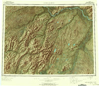
1952 · Kantishna River
USGS Topo · 1:250,000
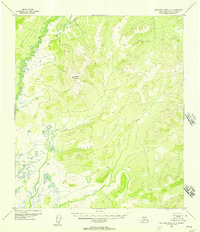
1952 · Kantishna River A-5
USGS Topo · 1:63,360
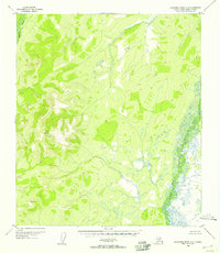
1952 · Kantishna River A-6
USGS Topo · 1:63,360
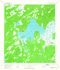
1953 · Mount McKinley D-5
USGS Topo · 1:63,360
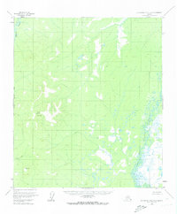
1953 · Kantishna River A-6
USGS Topo · 1:63,360
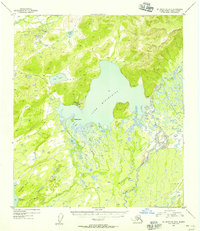
1954 · Mount McKinley D-5
USGS Topo · 1:63,360
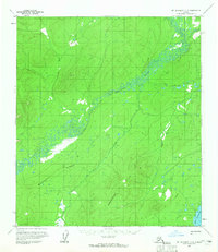
1958 · Mount McKinley D-6
USGS Topo · 1:63,360