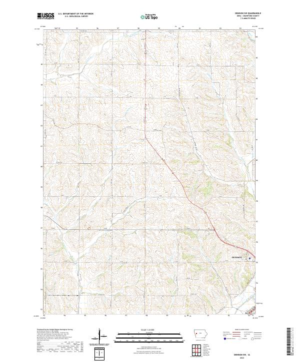
2022 Map of Denison SW
USGS Topo · Published 2022About this map
The southwest outskirts of Denison sit at the intersection of several key drainage systems in Crawford County, where the Boyer River and Bear Cr converge. This landscape is defined by the high ridges separating these valley floors, with the north-reaching headwaters of Willow Cr and Paradise Cr carving through the agricultural uplands. The road network follows a rigid section-line grid typical of the Midwest, though routes like Lincoln Way and Goodrich Loop trace more specific local paths through the terrain. To the north, the E Soldier River cuts across the corner of the quadrangle, highlighting the complex hydrology of the region. The presence of Medical Pkwy on the edge of the settlement indicates the modern expansion of services away from the traditional town center toward the surrounding open fields.
Find a feature on this map
43 named features on this map. Tap any name to fly to it.
Don’t see what you’re looking for? This feature index may not catch every label — zoom into the map to look around manually.
Map Details
Editions of this 2022 Denison SW Map
This is the sole edition of this map. No revisions or reprints were ever made.
Other maps of this area

1954 · Omaha
USGS Topo · 1:250,000

1954 · Fort Dodge
USGS Topo · 1:250,000

1957 · Omaha
USGS Topo · 1:250,000

1957 · Fort Dodge
USGS Topo · 1:250,000

1958 · Omaha
USGS Topo · 1:250,000

1958 · Fort Dodge
USGS Topo · 1:250,000

1971 · Ricketts
USGS Topo · 1:24,000

1971 · Schleswig
USGS Topo · 1:24,000

1971 · Earling NE
USGS Topo · 1:24,000

1971 · Denison
USGS Topo · 1:24,000