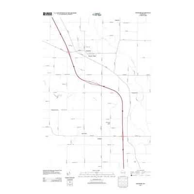
2013 Map of Denmark
USGS Topo · Published 2013About this map
Denmark serves as the central hub of this agricultural landscape in eastern Wisconsin, where the village's growth is framed by a network of rural crossroads and family-run enterprises. The map highlights a transition from traditional farming, represented by Mazna Farm and Am-En Dairy, to modern recreational and residential developments like Olympic Village. To the south, the village of Maribel sits near the headwaters of regional drainages, while the Flying Dollar Ranch Airport suggests the continued importance of private aviation in maintaining connectivity across these sprawling dairy lands.
Find a feature on this map
78 named features on this map. Tap any name to fly to it.
Don’t see what you’re looking for? This feature index may not catch every label — zoom into the map to look around manually.
Map Details
Editions of this 2013 Denmark Map
This is the sole edition of this map. No revisions or reprints were ever made.
Other maps of this area

1954 · Kewaunee
USGS Topo · 1:62,500

1954 · Manitowoc
USGS Topo · 1:62,500

1954 · Denmark
USGS Topo · 1:62,500

1954 · Reedsville
USGS Topo · 1:62,500

1954 · Manitowoc
USGS Topo · 1:250,000

1954 · Bellevue
USGS Topo · 1:24,000

1958 · Manitowoc
USGS Topo · 1:250,000

1978 · Denmark
USGS Topo · 1:24,000

1978 · Poland
USGS Topo · 1:24,000

1978 · Stangelville
USGS Topo · 1:24,000