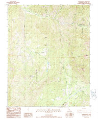
1986 Map of Dennison Peak
USGS Topo · Published 1986About this map
Dennison Peak stands as a prominent sentinel over this Sierra Nevada landscape, where the high country transitions between the Sequoia National Park and Sequoia National Forest. The map documents a territory defined by deep drainages and isolated landmarks, including the historic Peck Cabin and the South Fork Ranger Station near the South Fork Kaweah River. Subterranean features like Clough Cave and Soldiers Cave are noted, highlighting the unique geology of the region.
Find a feature on this map
32 named features on this map. Tap any name to fly to it.
Don’t see what you’re looking for? This feature index may not catch every label — zoom into the map to look around manually.
Map Details
Editions of this 1986 Dennison Peak Map
3 editions found
Other maps of this area

1904 · Kaweah
USGS Topo · 1:125,000

1909 · Kaweah
USGS Topo · 1:125,000

1937 · Kaweah
USGS Topo · 1:125,000

1948 · Fresno
USGS Topo · 1:250,000

1955 · Fresno
USGS Topo · 1:250,000

1956 · Fresno
USGS Topo · 1:250,000

1956 · Mineral King
USGS Topo · 1:62,500
1956 · Camp Nelson
USGS Topo · 1:62,500
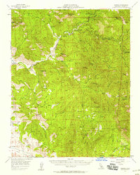
1957 · Kaweah
USGS Topo · 1:62,500
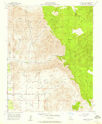
1957 · Frazier Valley
USGS Topo · 1:24,000