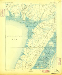
1894 Map of Dennisville
USGS Topo · Published 1899About this map
Dennisville and the surrounding tide-water reaches of Cape May County are documented here during a period when the local economy relied heavily on maritime access and emerging rail lines. The interior is defined by extensive wetlands such as the Timber and Beaver Swamp and Cedar Swamp, while the shoreline is dotted with active transfer points like West Creek Landing, Goshen Landing, and Shell Landing. These landings provided essential gateways to the Delaware Bay before modern infrastructure fully bypassed the marshes.
Find a feature on this map
80 named features on this map. Tap any name to fly to it.
Don’t see what you’re looking for? This feature index may not catch every label — zoom into the map to look around manually.
Map Details
Editions of this 1894 Dennisville Map
4 editions found

Other maps of this area

1884 · Sea Isle
USGS Topo · 1:62,500

1888 · Cape May
USGS Topo · 1:62,500

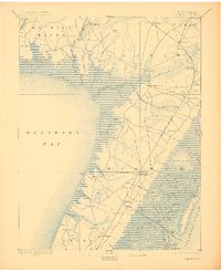
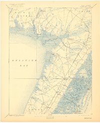
1888 · Dennisville
USGS Topo · 1:62,500

1888 · Sea Isle
USGS Topo · 1:62,500

1890 · Great Egg Harbor
USGS Topo · 1:62,500

1890 · Tuckahoe
USGS Topo · 1:62,500

1890 · Maurice Cove
USGS Topo · 1:62,500

1890 · Bridgeton
USGS Topo · 1:62,500

1891 · Maurice Cove
USGS Topo · 1:62,500

1893 · Cape May
USGS Topo · 1:62,500
Featured Places
- Lower Township, NJ
- Middle Township, NJ
- Upper Township, NJ
- Villas, Lower Township
- Maurice River Township, NJ