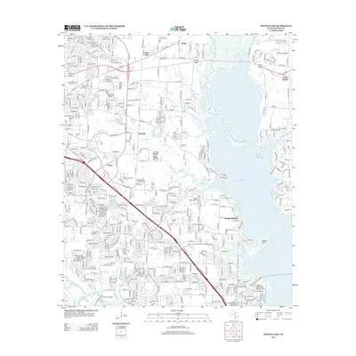
2013 Map of Denton East
USGS Topo · Published 2013About this map
Lake Lewisville dominates the eastern landscape, where the Elm Fork Trinity River feeds into a massive reservoir shaped by mid-century water management. The area shows a complex transition from institutional and rural lands to suburban expansion, anchored by the Denton State School campus. Transportation corridors like S Interstate 35 E and the Lake Lewisville Toll Bridge reflect the growing connectivity required by burgeoning communities such as Shady Shores and Mayhill. For genealogists and local historians, the presence of Oakwood Cem, Shiloh Cem, and Swisher Cem provides critical anchors to the region's earlier settlement history. Aviation and recreation also leave their mark with the Hidden Valley Airpark, Lakeview Airport, and Camp Copass dotting the shoreline, illustrating the multi-use character of the modern Texas lakefront.
Find a feature on this map
32 named features on this map. Tap any name to fly to it.
Don’t see what you’re looking for? This feature index may not catch every label — zoom into the map to look around manually.
Map Details
Editions of this 2013 Denton East Map
This is the sole edition of this map. No revisions or reprints were ever made.
Other maps of this area

1925 · Mc Kinney 3-c
USGS Topo · 1:48,000

1929 · Frisco
USGS Topo · 1:62,500

1954 · Sherman
USGS Topo · 1:250,000

1958 · Sherman
USGS Topo · 1:250,000

1960 · Sanger
USGS Topo · 1:24,000

1960 · Green Valley
USGS Topo · 1:24,000
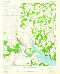
1960 · Argyle
USGS Topo · 1:24,000

1960 · Aubrey
USGS Topo · 1:24,000
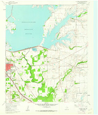
1960 · Lewisville East
USGS Topo · 1:24,000
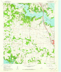
1960 · Lewisville West
USGS Topo · 1:24,000