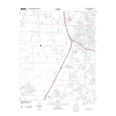
2013 Map of Denton West
USGS Topo · Published 2013About this map
Hickory Creek and its many tributaries, including Dry Fork Hickory Creek and Roark Branch, carve through the landscape west of the city center. This 2013 survey documents the suburban expansion and infrastructure serving the region, featuring the Denton Municipal Airport and the North Texas State College Golf Course. The terrain is punctuated by distinct high points such as Bald Knob, Pilot Knob, and Crawford Hill, while smaller settlements like Minchin and Jagoe appear alongside residential developments. Several burial grounds, including Roselawn Memorial Cemetery, Krum Cemetery, and Argyle Cemetery, provide important points of reference for genealogists and local historians tracking the community's heritage through the turn of the 21st century.
Find a feature on this map
250 named features on this map. Tap any name to fly to it.
Don’t see what you’re looking for? This feature index may not catch every label — zoom into the map to look around manually.
Map Details
Editions of this 2013 Denton West Map
This is the sole edition of this map. No revisions or reprints were ever made.
Other maps of this area

1954 · Sherman
USGS Topo · 1:250,000

1958 · Sherman
USGS Topo · 1:250,000

1959 · Ponder
USGS Topo · 1:24,000
1960 · Justin
USGS Topo · 1:24,000

1960 · Sanger
USGS Topo · 1:24,000

1960 · Green Valley
USGS Topo · 1:24,000
1960 · Argyle
USGS Topo · 1:24,000
1960 · Lewisville West
USGS Topo · 1:24,000
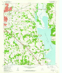
1960 · Denton East
USGS Topo · 1:24,000
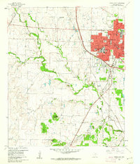
1960 · Denton West
USGS Topo · 1:24,000