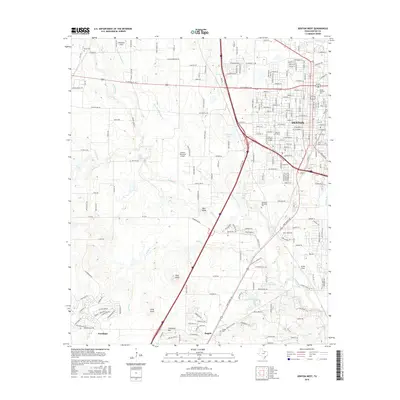
2016 Map of Denton West
USGS Topo · Published 2016About this map
Denton serves as the academic and civic hub of this North Texas landscape, anchored by the expansive campuses of Texas Woman's Univ and the Univ of N Texas. The map illustrates a city in transition, where established residential streets like W Oak St and W Hickory St give way to significant infrastructure like the Denton Municipal Airport and the Interstate 35 corridor. To the south, the community of Argyle maintains a more open character, with its history documented at Argyle Cem and along the banks of Graveyard Br.
Find a feature on this map
200 named features on this map. Tap any name to fly to it.
Don’t see what you’re looking for? This feature index may not catch every label — zoom into the map to look around manually.
Map Details
Editions of this 2016 Denton West Map
This is the sole edition of this map. No revisions or reprints were ever made.
Other maps of this area

1954 · Sherman
USGS Topo · 1:250,000

1958 · Sherman
USGS Topo · 1:250,000

1959 · Ponder
USGS Topo · 1:24,000
1960 · Justin
USGS Topo · 1:24,000

1960 · Sanger
USGS Topo · 1:24,000

1960 · Green Valley
USGS Topo · 1:24,000
1960 · Argyle
USGS Topo · 1:24,000
1960 · Lewisville West
USGS Topo · 1:24,000
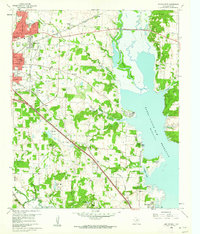
1960 · Denton East
USGS Topo · 1:24,000
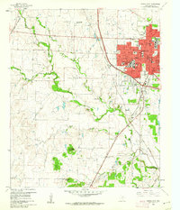
1960 · Denton West
USGS Topo · 1:24,000