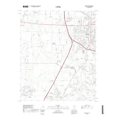
2019 Map of Denton West
USGS Topo · Published 2019About this map
Denton serves as the focal point for this area of North Texas, where urban expansion meets the undulating terrain of the Cross Timbers. The western reaches of the city are marked by the Denton Enterprise Airport and several prominent landmarks including Bald Knob and Pilot Knob. Significant drainage patterns are established by Hickory Cr and its various tributaries such as Dry Fork Hickory Cr and Graveyard Br, which carve through the landscape south toward Argyle.
Find a feature on this map
238 named features on this map. Tap any name to fly to it.
Don’t see what you’re looking for? This feature index may not catch every label — zoom into the map to look around manually.
Map Details
Editions of this 2019 Denton West Map
This is the sole edition of this map. No revisions or reprints were ever made.
Other maps of this area

1954 · Sherman
USGS Topo · 1:250,000

1958 · Sherman
USGS Topo · 1:250,000

1959 · Ponder
USGS Topo · 1:24,000
1960 · Justin
USGS Topo · 1:24,000

1960 · Sanger
USGS Topo · 1:24,000

1960 · Green Valley
USGS Topo · 1:24,000
1960 · Argyle
USGS Topo · 1:24,000
1960 · Lewisville West
USGS Topo · 1:24,000
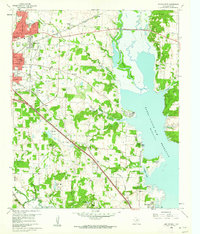
1960 · Denton East
USGS Topo · 1:24,000
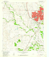
1960 · Denton West
USGS Topo · 1:24,000