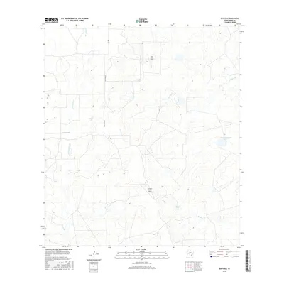
2016 Map of Dentonio
USGS Topo · Published 2016About this map
Dentonio Ranch Airport and Miller Ranch Airport anchor this segment of rural Dimmit County, reflecting the deep-rooted ranching infrastructure in this part of South Texas. The landscape is defined by the ephemeral drainage of San Lorenzo Creek, El Moro Creek, and Bonito Creek, which feed into various impoundments including Dullnig Lake, George Lake, and the specifically numbered Dolph Briscoe Lake Number 5. This network of tanks and creeks demonstrates the vital importance of water management in a region characterized by private ranching operations. The area is traversed by Faith Ranch Rd and FM 186, providing the primary terrestrial links through this sparsely settled territory. For those tracing the history of large Texas landholdings, these named lakes and private airstrips offer specific evidence of late-20th and early-21st-century land use.
Find a feature on this map
10 named features on this map. Tap any name to fly to it.
Don’t see what you’re looking for? This feature index may not catch every label — zoom into the map to look around manually.
Map Details
Editions of this 2016 Dentonio Map
This is the sole edition of this map. No revisions or reprints were ever made.
Other maps of this area

1929 · Cotulla
USGS Topo · 1:125,000

1940 · Asherton
USGS Topo · 1:62,500

1940 · San Loranzo Creek
USGS Topo · 1:62,500

1940 · Chupadera
USGS Topo · 1:62,500

1941 · Botella Creek
USGS Topo · 1:62,500

1953 · Crystal City
USGS Topo · 1:250,000

1955 · Crystal City
USGS Topo · 1:250,000

1957 · Botella Creek
USGS Topo · 1:62,500

1958 · Eagle Pass
USGS Topo · 1:250,000

1961 · Crystal City
USGS Topo · 1:250,000