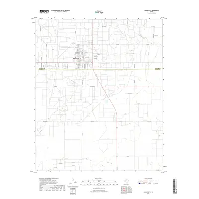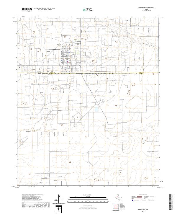
2022 Map of Denver City
USGS Topo · Published 2022About this map
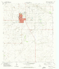
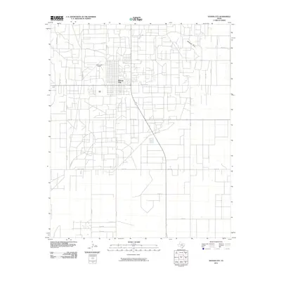
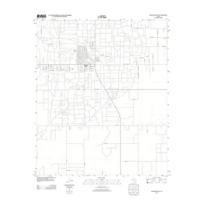
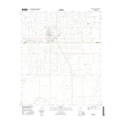
Denver City anchors this 2022 survey, straddling the northern border of West Texas. The landscape is defined by its rectilinear grid of rural roads and energy-related infrastructure, characteristic of the High Plains. Just north of the main settlement, the Denver City Airport and Denver City Memorial Park serve as local landmarks. The terrain is marked by the subtle depression of McKenzie Draw in the northeast, where historic routes like the Chisholm Trl and Wagon Trl once traversed the cattle country. Spanning the boundary between Yoakum Co and Gaines Co, the map reveals a modern network of ranch roads, including Ranch Rd 1939 and Ranch Rd 2055, which connect the scattered agricultural and petroleum operations that sustain the regional economy.
Find a feature on this map
93 named features on this map. Tap any name to fly to it.
Don’t see what you’re looking for? This feature index may not catch every label — zoom into the map to look around manually.
Map Details
Editions of this 2022 Denver City Map
This is the sole edition of this map. No revisions or reprints were ever made.
Historical Maps of Denver City Through Time
6 maps found