
1953 Map of Denver
USGS Topo · Published 1964About this map
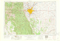
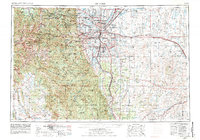
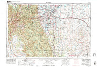
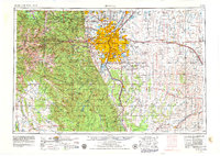
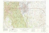
The South Platte River and its major tributaries, Cherry Creek and Clear Creek, anchor this 1:250,000 scale survey of the Colorado Front Range during a period of significant mid-century expansion. The urban footprint of Denver is shown alongside established suburbs like Aurora, Englewood, and Arvada, while the surrounding plains are dotted with critical Cold War era military installations including the Rocky Mountain Arsenal, Lowry Air Force Base, and Buckley Naval Air Station.
Find a feature on this map
188 named features on this map. Tap any name to fly to it.
Don’t see what you’re looking for? This feature index may not catch every label — zoom into the map to look around manually.
Map Details
Editions of this 1953 Denver Map
6 editions found
Other maps of this area

1889 · Leadville
USGS Topo · 1:125,000

1889 · Sanborn
USGS Topo · 1:125,000

1890 · East Denver
USGS Topo · 1:125,000

1891 · Sanborn
USGS Topo · 1:125,000

1891 · Leadville
USGS Topo · 1:125,000

1891 · Limon
USGS Topo · 1:125,000

1892 · Limon
USGS Topo · 1:125,000

1893 · Sanborn
USGS Topo · 1:125,000

1893 · Big Springs
USGS Topo · 1:125,000

1893 · Platte Canyon
USGS Topo · 1:125,000