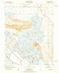
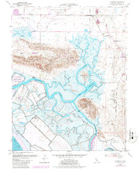
1953 Map of Denverton
USGS Topo · Published 1954About this map
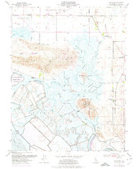
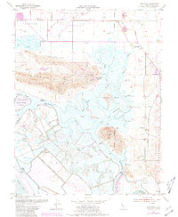
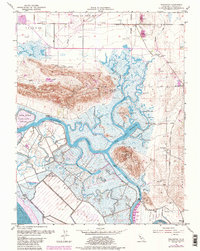
Grizzly Island and the surrounding marshlands define this mid-century landscape of northern Solano County. The terrain is a labyrinth of tidal channels, including Montezuma Slough and Nurse Slough, which separate significant landmasses like Bradmoor Island and Joice Island. This period shows the transition from early maritime and agricultural landings to specialized infrastructure, as evidenced by Beldons Landing and Meins Landing alongside the Joice Island State Game Refuge. In the southern reaches, the Sacramento Northern railroad cuts across the Montezuma Hills near the settlement of Montezuma and Shilo Church. To the north, the elevation rises into the Potrero Hills, while the presence of Travis Air Force Base at the top of the sheet signals the era's growing military footprint. The map also documents industrial activity through numerous gas wells and a Gravel Pit near the village of Denverton.
Find a feature on this map
50 named features on this map. Tap any name to fly to it.
Don’t see what you’re looking for? This feature index may not catch every label — zoom into the map to look around manually.
Map Details
Editions of this 1953 Denverton Map
9 editions found
Other maps of this area

1896 · Carquinez Strait
USGS Topo · 1:62,500

1898 · Karquines
USGS Topo · 1:62,500

1901 · Karquines
USGS Topo · 1:62,500

1902 · Napa
USGS Topo · 1:125,000

1907 · Antioch
USGS Topo · 1:62,500

1908 · Vacaville
USGS Topo · 1:62,500

1908 · Antioch
USGS Topo · 1:62,500

1916 · Maine Prairie
USGS Topo · 1:31,680

1917 · Elmira
USGS Topo · 1:31,680

1918 · Honker Bay
USGS Topo · 1:31,680