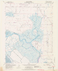
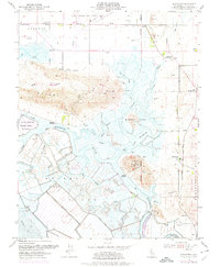
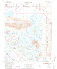
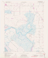
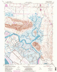
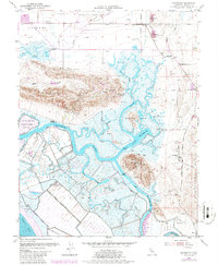
1953 Map of Denverton
USGS Topo · Published 1969About this map
Montezuma Slough and a complex network of tidal channels define this landscape in Solano County, where the transition from the Potrero Hills meets the marshy expanse of Grizzly Island. Surveyed mid-century with late-1960s updates, the map shows the area's specialized maritime and agricultural character. Remote outposts like Beldons Landing, Lingos Landing, and Meins Landing dot the waterways, serving as critical points of access in a region dominated by Levees and drainage systems.
Find a feature on this map
41 named features on this map. Tap any name to fly to it.
Don’t see what you’re looking for? This feature index may not catch every label — zoom into the map to look around manually.
Map Details
Editions of this 1953 Denverton Map
9 editions found
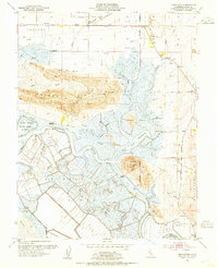
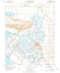
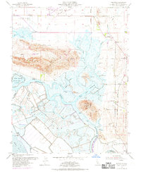
Other maps of this area

1896 · Carquinez Strait
USGS Topo · 1:62,500

1898 · Karquines
USGS Topo · 1:62,500

1901 · Karquines
USGS Topo · 1:62,500

1902 · Napa
USGS Topo · 1:125,000

1907 · Antioch
USGS Topo · 1:62,500

1908 · Vacaville
USGS Topo · 1:62,500

1908 · Antioch
USGS Topo · 1:62,500

1916 · Maine Prairie
USGS Topo · 1:31,680

1917 · Elmira
USGS Topo · 1:31,680

1918 · Honker Bay
USGS Topo · 1:31,680