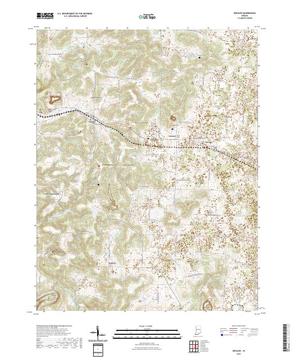
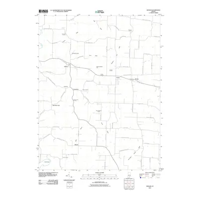
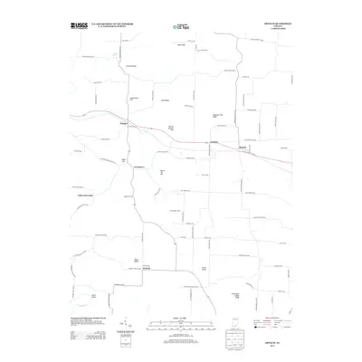
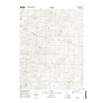
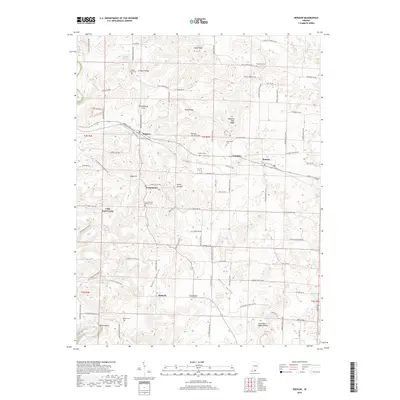
2022 Map of Depauw
USGS Topo · Published 2022About this map
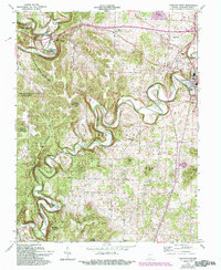
Depauw and Ramsey serve as the primary hubs in this corner of Harrison County, situated along a landscape defined by prominent ridges and deep hollows. The northern portion of the map is dominated by Eagle Ridge and Orchard Ridge, while the southern reaches descend toward the Blue River and the sharp bend known as Devils Elbow. These terrain features shaped the early settlement patterns of rural communities like Frenchtown and Little Saint Louis.
Find a feature on this map
91 named features on this map. Tap any name to fly to it.
Don’t see what you’re looking for? This feature index may not catch every label — zoom into the map to look around manually.
Map Details
Editions of this 2022 Depauw Map
This is the sole edition of this map. No revisions or reprints were ever made.
Historical Maps of Moberly Through Time
22 maps found
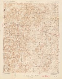
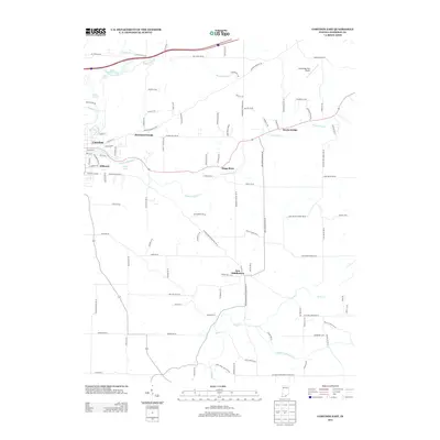
1944 Corydon West
Harrison County, IN
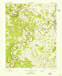
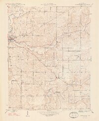
1946 Depauw
Harrison County, IN
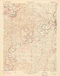
1947 Corydon West
Harrison County, IN
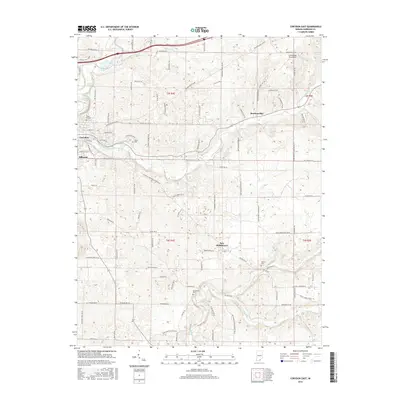
1948 Corydon East
Harrison County, IN
1962 Corydon West
Harrison County, IN
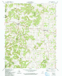
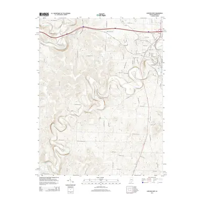
1962 Depauw
Harrison County, IN
1966 Corydon East
Harrison County, IN
2010 Corydon East
Harrison County, IN
2010 Corydon West
Harrison County, IN
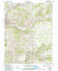
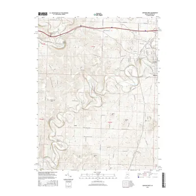
2010 Depauw
Harrison County, IN
2013 Corydon East
Harrison County, IN
2013 Depauw
Harrison County, IN
2014 Corydon West
Harrison County, IN
2016 Corydon East
Harrison County, IN
2016 Corydon West
Harrison County, IN
2016 Depauw
Harrison County, IN
2019 Corydon East
Harrison County, IN
2019 Corydon West
Harrison County, IN
2019 Depauw
Harrison County, IN
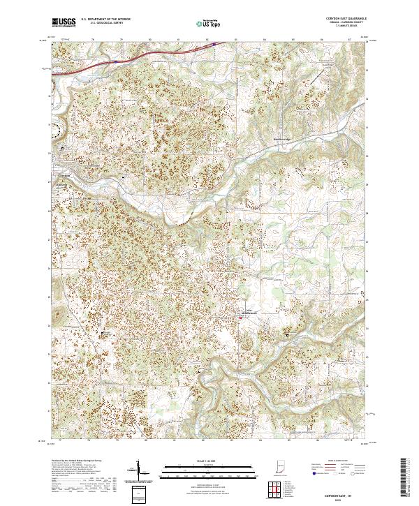
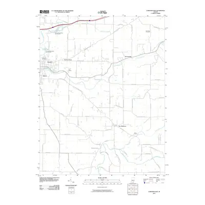
2022 Corydon East
Harrison County, IN
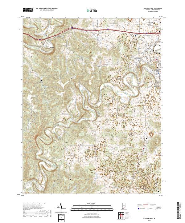
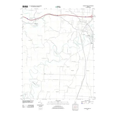
2022 Corydon West
Harrison County, IN
2022 Depauw
Harrison County, IN