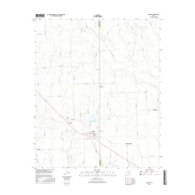
2016 Map of Deport
USGS Topo · Published 2016About this map
Deport sits at the junction of Lamar and Red River counties, serving as a focal point for the surrounding agricultural plains during this 2016 survey. The town's grid is centered near Old City Lake and the Soil Conservation Service Site 1 Reservoir, reflecting the importance of water management in this prairie landscape. To the east, the settlement of Fulbright and the community of Shadowland are connected by a network of farm-to-market roads, including FM 410 and FM 411.
Find a feature on this map
72 named features on this map. Tap any name to fly to it.
Don’t see what you’re looking for? This feature index may not catch every label — zoom into the map to look around manually.
Map Details
Editions of this 2016 Deport Map
This is the sole edition of this map. No revisions or reprints were ever made.
Other maps of this area

1953 · Texarkana
USGS Topo · 1:250,000

1956 · Texarkana
USGS Topo · 1:250,000

1963 · Minter
USGS Topo · 1:24,000

1963 · Cunningham
USGS Topo · 1:24,000

1964 · Detroit
USGS Topo · 1:24,000

1964 · Deport
USGS Topo · 1:24,000

1964 · Bagwell
USGS Topo · 1:24,000

1964 · Pattonville
USGS Topo · 1:24,000

1964 · Bogata
USGS Topo · 1:24,000

1964 · Blossom
USGS Topo · 1:24,000