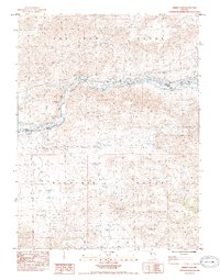
1985 Map of Derby Dam
USGS Topo · Published 1985About this map
The Truckee River carves a critical path between the Pah Rah Range and the Virginia Range in this mid-1980s study of western Nevada. This corridor has long served as a vital transportation and irrigation artery, evidenced here by the presence of the Emigrant Trail running parallel to the Southern Pacific railroad. The most significant engineering feature is the Derby Dam, which diverts river water into the Truckee Canal for regional agricultural use. Industrial activity is visible in the southeastern quadrant, where the Celatom Mine and associated Tailing Pond operate near the Southern Pacific tracks. Small rail-side settlements like Clark and Thisby punctuate the line, while a Historical Monument near the river bend marks the area's significance to earlier travelers.
Find a feature on this map
19 named features on this map. Tap any name to fly to it.
Don’t see what you’re looking for? This feature index may not catch every label — zoom into the map to look around manually.
Map Details
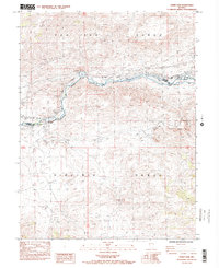
Editions of this 1985 Derby Dam Map
2 editions found
Other maps of this area

1890 · Wadsworth
USGS Topo · 1:125,000

1891 · Carson
USGS Topo · 1:125,000

1891 · Wabuska
USGS Topo · 1:125,000

1891 · Reno
USGS Topo · 1:125,000

1892 · Wadsworth
USGS Topo · 1:125,000

1893 · Carson
USGS Topo · 1:125,000

1893 · Reno
USGS Topo · 1:125,000

1894 · Wadsworth
USGS Topo · 1:125,000

1894 · Wabuska
USGS Topo · 1:125,000

1950 · Virginia City
USGS Topo · 1:62,500