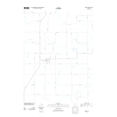
2013 Map of Derby
USGS Topo · Published 2013About this map
Derby serves as the primary hub of this Lucas County landscape, situated where Front St and Chariton Ave meet. The town's grid is bounded by Prairie Ave and Vine St, reflecting a classic Midwestern rural settlement pattern. The surrounding territory is defined by an intricate network of waterways, most notably the meandering path of the Chariton River which cuts across the northern half of the quadrangle. Smaller tributaries like Hamilton Cr and Fivemile Cr drain the undulating southern reaches, creating a dissected terrain that dictates the layout of the local road system.
Find a feature on this map
50 named features on this map. Tap any name to fly to it.
Don’t see what you’re looking for? This feature index may not catch every label — zoom into the map to look around manually.
Map Details
Editions of this 2013 Derby Map
This is the sole edition of this map. No revisions or reprints were ever made.
Other maps of this area

1918 · Chariton
USGS Topo · 1:62,500

1934 · Humeston
USGS Topo · 1:48,000

1937 · Corydon
USGS Topo · 1:62,500

1950 · New Virginia
USGS Topo · 1:62,500

1952 · New Virginia
USGS Topo · 1:62,500

1954 · Centerville
USGS Topo · 1:250,000

1954 · Des Moines
USGS Topo · 1:250,000

1956 · Des Moines
USGS Topo · 1:250,000

1957 · Des Moines
USGS Topo · 1:250,000

1957 · Centerville
USGS Topo · 1:250,000