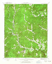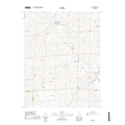
1969 Map of Des Arc
USGS Topo · Published 1970About this map
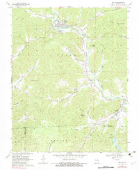
Annapolis and Des Arc anchor this corner of the Missouri Ozarks during the late 1960s, reflecting a landscape defined by deep hollows and the steady presence of the Missouri Pacific railroad. The line runs north-south through the valley of Big Creek, passing the small industrial site at Vulcan and serving as a lifeline for timber and mineral transport. The terrain is marked by numerous family-named landmarks like Ruble Mountain and Stony Mountain, while the valley floors are dotted with small community gathering places such as New Peace and Harmony Ch. Local genealogy is well-preserved through a high density of small burial grounds, including Sisk Cem, Ruble Cem, and Mountain View Cem. In the southern reaches, the Chain of Lakes along Goose Creek indicates a shift toward recreation or localized water management amidst the rugged Sutton Hollow and Dafron Hollow drainages.
Find a feature on this map
46 named features on this map. Tap any name to fly to it.
Don’t see what you’re looking for? This feature index may not catch every label — zoom into the map to look around manually.
Map Details
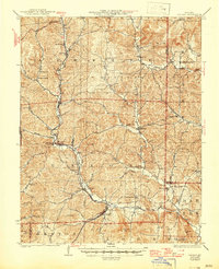
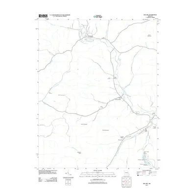
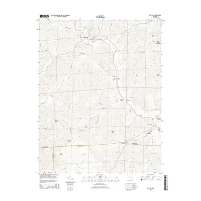
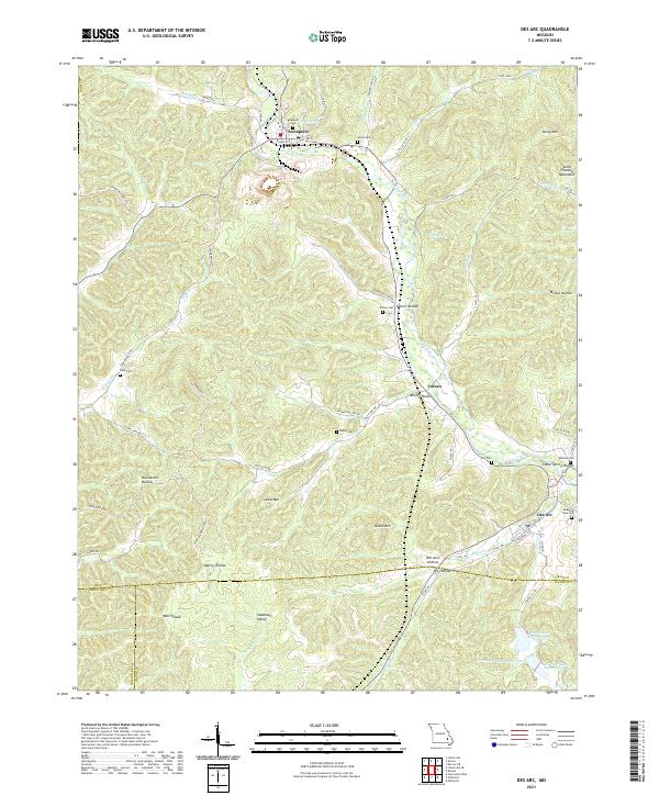
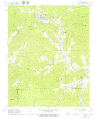
Editions of this 1969 Des Arc Map
3 editions found
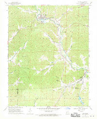
Historical Maps of Annapolis Through Time
7 maps found