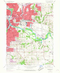
1956 Map of Des Moines SE
USGS Topo · Published 1968About this map
Des Moines River and the Raccoon River converge at the heart of this mid-century urban landscape, anchoring a dense network of civic and industrial infrastructure. The city's eastern growth is evident in the sprawling residential blocks surrounding Grandview Park and the prominent State Capitol grounds. To the south, the transition from heavy industry and rail yards into the open terrain of Bloomfield and the Polk Co Warren Co line reveals a geography defined by the era's transport demands.
Find a feature on this map
74 named features on this map. Tap any name to fly to it.
Don’t see what you’re looking for? This feature index may not catch every label — zoom into the map to look around manually.
Map Details
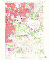
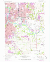
Editions of this 1956 Des Moines SE Map
4 editions found
Other maps of this area

1905 · Des Moines
USGS Topo · 1:62,500

1907 · Des Moines
USGS Topo · 1:62,500

1910 · Milo
USGS Topo · 1:62,500

1930 · Mitchellville
USGS Topo · 1:62,500

1931 · Indianola
USGS Topo · 1:62,500

1954 · Des Moines
USGS Topo · 1:250,000

1956 · Des Moines
USGS Topo · 1:250,000

1956 · Des Moines NW
USGS Topo · 1:24,000

1956 · Des Moines SW
USGS Topo · 1:24,000

1956 · Des Moines SE
USGS Topo · 1:24,000