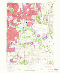
1956 Map of Des Moines SE
USGS Topo · Published 1972About this map
Des Moines expands across this mid-century landscape where the confluence of the Raccoon River and the Des Moines River anchors the state’s urban center. The survey highlights the State Fairground and the State Capitol, surrounded by a dense network of residential growth and civic institutions like Grandview College and Fort Des Moines. The rail infrastructure is particularly prominent, featuring the Chicago Rock Island and Pacific and the Chicago and North Western lines, which serviced the region's industrial hubs.
Find a feature on this map
76 named features on this map. Tap any name to fly to it.
Don’t see what you’re looking for? This feature index may not catch every label — zoom into the map to look around manually.
Map Details
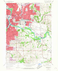
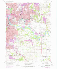
Editions of this 1956 Des Moines SE Map
4 editions found
Other maps of this area

1905 · Des Moines
USGS Topo · 1:62,500

1907 · Des Moines
USGS Topo · 1:62,500

1910 · Milo
USGS Topo · 1:62,500

1930 · Mitchellville
USGS Topo · 1:62,500

1931 · Indianola
USGS Topo · 1:62,500

1954 · Des Moines
USGS Topo · 1:250,000

1956 · Des Moines
USGS Topo · 1:250,000

1956 · Des Moines NW
USGS Topo · 1:24,000

1956 · Des Moines SW
USGS Topo · 1:24,000

1956 · Des Moines SE
USGS Topo · 1:24,000