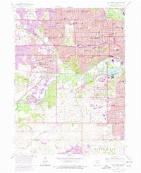
1956 Map of Des Moines SW
USGS Topo · Published 1977About this map
The Raccoon River winds through the heart of this landscape, flanked by the sprawling Gravel Pits and the expansive Walnut Woods State Park to the southwest. This era of Des Moines history is defined by a dense network of education and transit, with Drake University and numerous parochial institutions like St Joseph Academy and Holy Trinity Sch serving the growing residential districts. The intersection of the Chicago and North Western and other major rail lines underscores the city's role as a regional transportation hub, while the presence of the Des Moines Municipal Airport marks its mid-century modernization.
Find a feature on this map
77 named features on this map. Tap any name to fly to it.
Don’t see what you’re looking for? This feature index may not catch every label — zoom into the map to look around manually.
Map Details
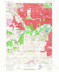
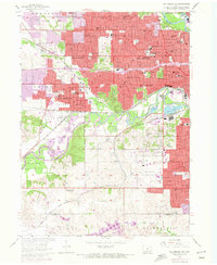
Editions of this 1956 Des Moines SW Map
4 editions found
Other maps of this area

1905 · Des Moines
USGS Topo · 1:62,500

1907 · Des Moines
USGS Topo · 1:62,500

1908 · Waukee
USGS Topo · 1:62,500

1931 · Indianola
USGS Topo · 1:62,500

1951 · St. Charles
USGS Topo · 1:62,500

1954 · Des Moines
USGS Topo · 1:250,000

1956 · Des Moines
USGS Topo · 1:250,000

1956 · Des Moines NW
USGS Topo · 1:24,000

1956 · Des Moines SW
USGS Topo · 1:24,000

1956 · Des Moines SE
USGS Topo · 1:24,000