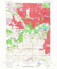
1956 Map of Des Moines SW
USGS Topo · Published 1968About this map
Des Moines and its western suburbs expand across the landscape in this mid-century record, where the Raccoon River loops through a mix of industrial riverfronts and established parklands. The city's growth is evident in the dense network of schools like Roosevelt High Sch and Lincoln High Sch, alongside the sprawling grounds of Drake University. This era captures the confluence of major rail lines, including the Chicago Rock Island and Pacific, which serviced the massive Gravel Pits along the river. Beyond the urban core, the map detail extends to Des Moines Municipal Airport and Walnut Woods State Park, while the southern reaches of Polk Co transition into the rural landscape of Warren Co near the small community of Orillia. Significant institutional presence is marked by the Glendale Cemetery and specialized facilities like the Technical High Sch.
Find a feature on this map
97 named features on this map. Tap any name to fly to it.
Don’t see what you’re looking for? This feature index may not catch every label — zoom into the map to look around manually.
Map Details
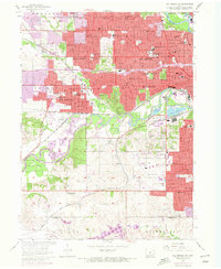
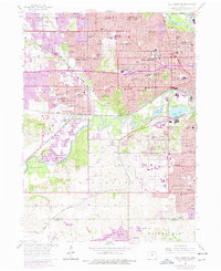
Editions of this 1956 Des Moines SW Map
4 editions found
Other maps of this area

1905 · Des Moines
USGS Topo · 1:62,500

1907 · Des Moines
USGS Topo · 1:62,500

1908 · Waukee
USGS Topo · 1:62,500

1931 · Indianola
USGS Topo · 1:62,500

1951 · St. Charles
USGS Topo · 1:62,500

1954 · Des Moines
USGS Topo · 1:250,000

1956 · Des Moines
USGS Topo · 1:250,000

1956 · Des Moines NW
USGS Topo · 1:24,000

1956 · Des Moines SW
USGS Topo · 1:24,000

1956 · Des Moines SE
USGS Topo · 1:24,000