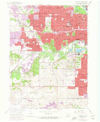
1956 Map of Des Moines SW
USGS Topo · Published 1972About this map
The Raccoon River and Des Moines River converge in this mid-century look at the Iowa capital’s southwestern reaches. The map documents a period of significant urban transformation, captured in 1956 and updated with photorevisions through the early 1970s. This transition is most evident in the expanding residential grids of Windsor Heights, Clive, and Urbandale, where dozens of neighborhood schools like Franklin Jr High Sch and Windsor Sch appear alongside established institutions like Drake University.
Find a feature on this map
98 named features on this map. Tap any name to fly to it.
Don’t see what you’re looking for? This feature index may not catch every label — zoom into the map to look around manually.
Map Details
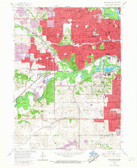
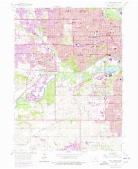
Editions of this 1956 Des Moines SW Map
4 editions found
Other maps of this area

1905 · Des Moines
USGS Topo · 1:62,500

1907 · Des Moines
USGS Topo · 1:62,500

1908 · Waukee
USGS Topo · 1:62,500

1931 · Indianola
USGS Topo · 1:62,500

1951 · St. Charles
USGS Topo · 1:62,500

1954 · Des Moines
USGS Topo · 1:250,000

1956 · Des Moines
USGS Topo · 1:250,000

1956 · Des Moines NW
USGS Topo · 1:24,000

1956 · Des Moines SW
USGS Topo · 1:24,000

1956 · Des Moines SE
USGS Topo · 1:24,000