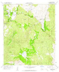
1960 Map of Descanso
USGS Topo · Published 1961About this map
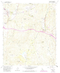
Cuyamaca Mountains terrain and the deep-cut valleys of the Cleveland National Forest define this 1960s landscape. High-altitude settlements like Descanso and Pine Valley are shown at a time of established recreational use, evidenced by the Pine Creek Bible Conference Ground, Beulah Picnic Ground, and Guatay Campground. The map reveals a complex network of seasonal drainages including Samagatuma Creek and Pine Valley Creek that carve through Farley Flat and Wild Pigeon Flat.
Find a feature on this map
51 named features on this map. Tap any name to fly to it.
Don’t see what you’re looking for? This feature index may not catch every label — zoom into the map to look around manually.
Map Details
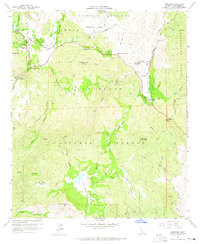
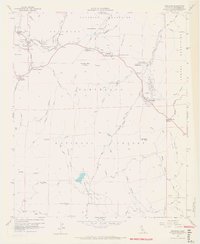
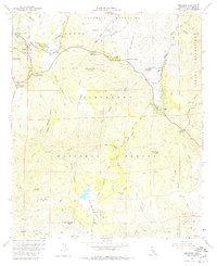
Editions of this 1960 Descanso Map
6 editions found
Other maps of this area

1903 · Cuyamaca
USGS Topo · 1:125,000

1904 · Southern California Sheet No. 2
USGS Topo · 1:250,000

1931 · Carrizo
USGS Topo · 1:125,000

1939 · Campo
USGS Topo · 1:62,500

1942 · Potrero
USGS Topo · 1:48,000

1942 · Campo
USGS Topo · 1:62,500

1942 · Cuyapaipe
USGS Topo · 1:62,500

1942 · Cuyamaca Peak
USGS Topo · 1:62,500

1944 · Potrero
USGS Topo · 1:62,500

1944 · Cuyamaca Peak
USGS Topo · 1:62,500