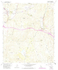
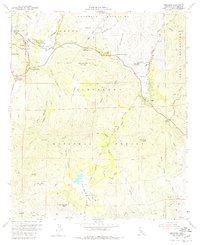
1960 Map of Descanso
USGS Topo · Published 1984About this map
The mountain communities of Descanso and Pine Valley anchor this mid-century look at the San Diego backcountry, set against the backdrop of the Cuyamaca Mountains and the Cleveland National Forest. The landscape is defined by its transit corridors and remote outposts, including the crossroads at Descanso Junction and Laguna Junction. The Sweetwater River and Samagatuma Creek carve through the terrain, supporting local settlements like Hulburd Grove and Guatay.
Find a feature on this map
54 named features on this map. Tap any name to fly to it.
Don’t see what you’re looking for? This feature index may not catch every label — zoom into the map to look around manually.
Map Details
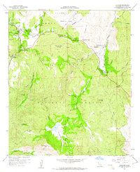
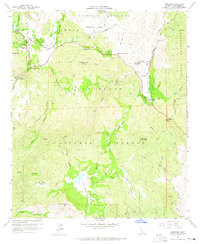
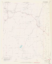
Editions of this 1960 Descanso Map
6 editions found
Other maps of this area

1903 · Cuyamaca
USGS Topo · 1:125,000

1904 · Southern California Sheet No. 2
USGS Topo · 1:250,000

1931 · Carrizo
USGS Topo · 1:125,000

1939 · Campo
USGS Topo · 1:62,500

1942 · Potrero
USGS Topo · 1:48,000

1942 · Campo
USGS Topo · 1:62,500

1942 · Cuyapaipe
USGS Topo · 1:62,500

1942 · Cuyamaca Peak
USGS Topo · 1:62,500

1944 · Potrero
USGS Topo · 1:62,500

1944 · Cuyamaca Peak
USGS Topo · 1:62,500