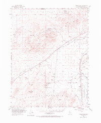
1951 Map of Desert Peak
USGS Topo · Published 1973About this map
Trinity Mountains and the Hot Springs Mountains dominate this high-desert landscape in the early 1950s, revealing a region defined by its historic transit corridors and mineral extraction. The map preserves the pathways of the Old California Trail (West Central Road) and the Old California Trail (Carson River Route), which intersect with the modern corridor of the Southern Pacific railroad. Small settlements and railroad stops like Jessup, Huxley, and Parran anchor the sparse population centers between the arid peaks and the low-lying Alkali Flat.
Find a feature on this map
35 named features on this map. Tap any name to fly to it.
Don’t see what you’re looking for? This feature index may not catch every label — zoom into the map to look around manually.
Map Details
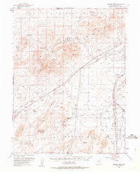
Editions of this 1951 Desert Peak Map
3 editions found

Other maps of this area

1886 · Granite Range
USGS Topo · 1:250,000

1890 · Wadsworth
USGS Topo · 1:125,000

1892 · Wadsworth
USGS Topo · 1:125,000

1894 · Granite Range
USGS Topo · 1:250,000

1894 · Wadsworth
USGS Topo · 1:125,000

1908 · Carson Sink
USGS Topo · 1:250,000

1910 · Carson Sink
USGS Topo · 1:250,000

1931 · Lovelock
USGS Topo · 1:250,000

1935 · Lovelock
USGS Topo · 1:250,000

1950 · Stillwater
USGS Topo · 1:62,500