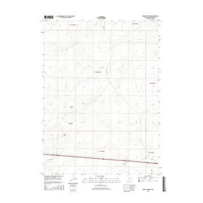
2015 Map of Desert Springs
USGS Topo · Published 2015About this map
Continental Divide winds through this section of Sweetwater County, marking the high ground of the Great Divide Basin. The landscape is defined by its drainages and tracks, notably Smiley Draw and Patrick Draw, which carve through the high desert terrain. The area is sparsely populated but contains vital transportation routes for local industry and ranching. The namesake Desert Springs sits in the southeastern quadrant, a critical water source in this arid environment. A network of rural routes, including Bar X Rd and Patrick Draw Rd, provides access across the township lines of T20N and T19N, while Interstate 80 and Madison Dr parallel the southern border, connecting this high-altitude landscape to the broader Wyoming corridor.
Find a feature on this map
15 named features on this map. Tap any name to fly to it.
Don’t see what you’re looking for? This feature index may not catch every label — zoom into the map to look around manually.
Map Details
Editions of this 2015 Desert Springs Map
This is the sole edition of this map. No revisions or reprints were ever made.
Other maps of this area

1954 · Rock Springs
USGS Topo · 1:250,000

1958 · Rock Springs
USGS Topo · 1:250,000

1958 · Twelvemile Well
USGS Topo · 1:62,500

1960 · Red Lake
USGS Topo · 1:62,500

1962 · Rock Springs
USGS Topo · 1:250,000

1968 · Bitter Creek
USGS Topo · 1:24,000

1968 · Bitter Creek NE
USGS Topo · 1:24,000

1970 · Table Rock
USGS Topo · 1:24,000

1970 · J O Dugway
USGS Topo · 1:24,000

1970 · Tipton
USGS Topo · 1:24,000