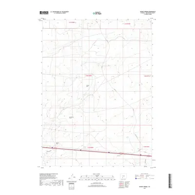
2017 Map of Desert Springs
USGS Topo · Published 2017About this map
The Continental Divide bisects this high-desert landscape in Sweetwater County, marking the hydrologic spine of the American West. The area is characterized by drainage systems like Smiley Draw and Patrick Draw, which define the topography in this corner of the Red Desert. Human activity is largely represented by a network of rural roads and transportation corridors, including Madison Dr and Patrick Draw Rd, that service the region's energy resources and cattle ranching operations. Near the eastern edge, the eponymous Desert Springs provides a rare water source in an otherwise arid environment. This 2017 survey reveals how modern infrastructure, such as Table Rock Rd and Bar X RD, has been etched into the vast public lands managed under the township and range system, including t20n r98w and t19n r97w.
Find a feature on this map
16 named features on this map. Tap any name to fly to it.
Don’t see what you’re looking for? This feature index may not catch every label — zoom into the map to look around manually.
Map Details
Editions of this 2017 Desert Springs Map
This is the sole edition of this map. No revisions or reprints were ever made.
Other maps of this area

1954 · Rock Springs
USGS Topo · 1:250,000

1958 · Rock Springs
USGS Topo · 1:250,000

1958 · Twelvemile Well
USGS Topo · 1:62,500

1960 · Red Lake
USGS Topo · 1:62,500

1962 · Rock Springs
USGS Topo · 1:250,000

1968 · Bitter Creek
USGS Topo · 1:24,000

1968 · Bitter Creek NE
USGS Topo · 1:24,000

1970 · Table Rock
USGS Topo · 1:24,000

1970 · J O Dugway
USGS Topo · 1:24,000

1970 · Tipton
USGS Topo · 1:24,000