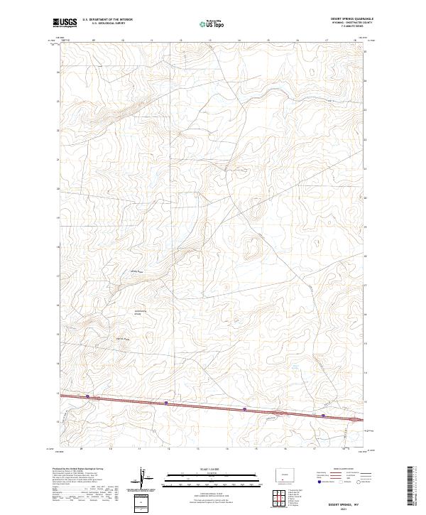
2021 Map of Desert Springs
USGS Topo · Published 2021About this map
The high desert of Sweetwater County is defined here by the path of the Continental Divide, which winds through a landscape of intermittent drainage basins and cattle country. This 2021 topographic record of the Red Desert region highlights the sparse but critical infrastructure that supports local energy and ranching interests, particularly around the eponymous Desert Springs. The map documents a network of named thoroughfares including Madison Dr, Table Rock Rd, and Patrick Draw Rd, providing essential passage through the broad basins of Smiley Draw and Patrick Draw. The arrangement of these roads alongside the traditional township and range grid reflects the ongoing human effort to manage this vast, water-scarce territory while maintaining its character as a remote corridor between distant mountain ranges.
Find a feature on this map
16 named features on this map. Tap any name to fly to it.
Don’t see what you’re looking for? This feature index may not catch every label — zoom into the map to look around manually.
Map Details
Editions of this 2021 Desert Springs Map
This is the sole edition of this map. No revisions or reprints were ever made.
Other maps of this area

1954 · Rock Springs
USGS Topo · 1:250,000

1958 · Rock Springs
USGS Topo · 1:250,000

1958 · Twelvemile Well
USGS Topo · 1:62,500

1960 · Red Lake
USGS Topo · 1:62,500

1962 · Rock Springs
USGS Topo · 1:250,000

1968 · Bitter Creek
USGS Topo · 1:24,000

1968 · Bitter Creek NE
USGS Topo · 1:24,000

1970 · Table Rock
USGS Topo · 1:24,000

1970 · J O Dugway
USGS Topo · 1:24,000

1970 · Tipton
USGS Topo · 1:24,000