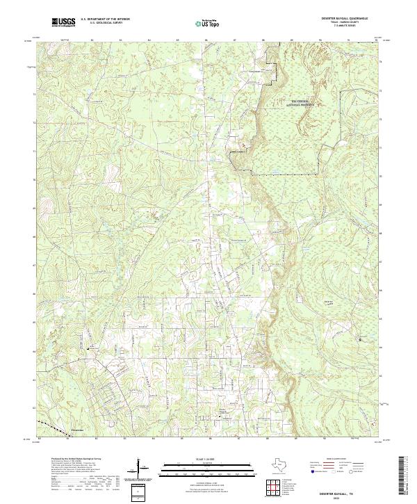
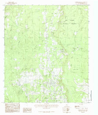
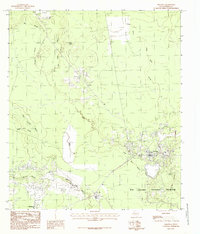
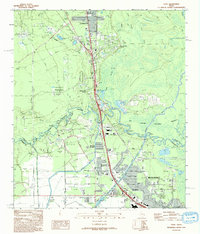
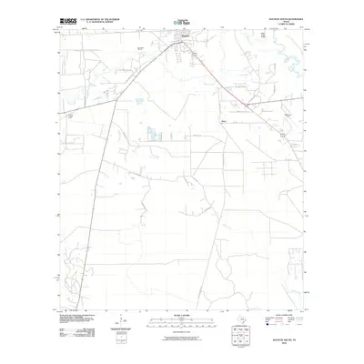
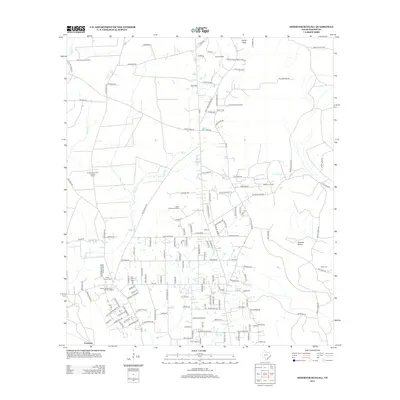
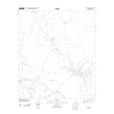
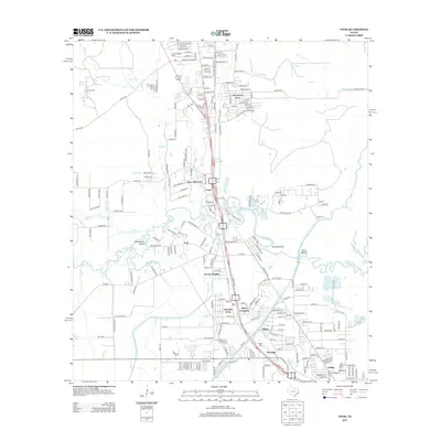
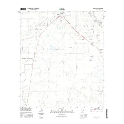
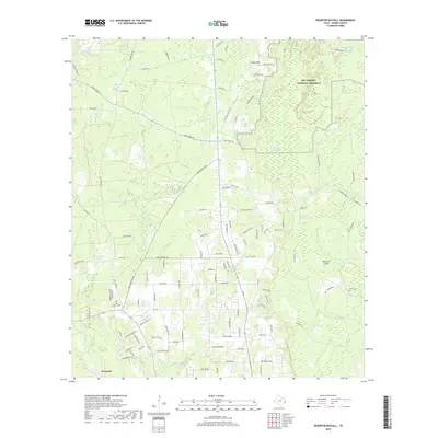
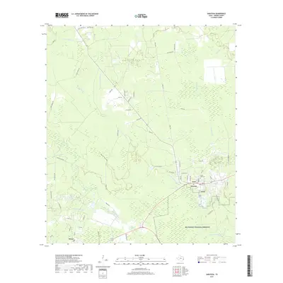
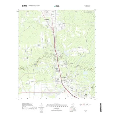
2022 Map of Deserter Baygall
USGS Topo · Published 2022About this map
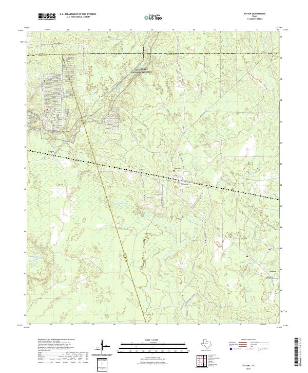
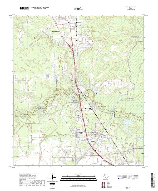
Big Thicket National Preserve dominates the northeastern landscape of this Hardin County survey, where a complex network of baygalls and sloughs defines the terrain. The presence of Deserter Baygall and Deserter Island suggests a landscape historically defined by its seclusion and dense bottomlands. These swampy features, along with Jack Gore Baygall and Maple Slough, indicate a seasonal hydrology that historically restricted settlement to the slightly higher ground and ridges.
Find a feature on this map
108 named features on this map. Tap any name to fly to it.
Don’t see what you’re looking for? This feature index may not catch every label — zoom into the map to look around manually.
Map Details
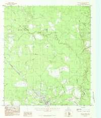
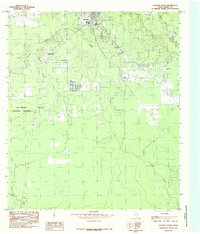
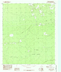
Editions of this 2022 Deserter Baygall Map
This is the sole edition of this map. No revisions or reprints were ever made.
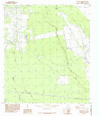
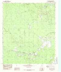
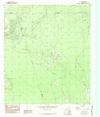
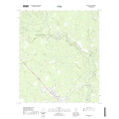
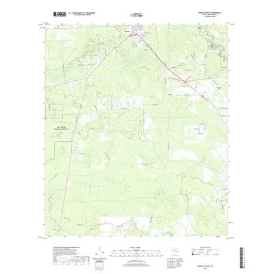
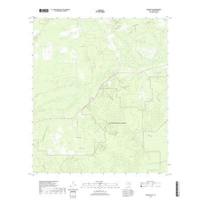
Historical Maps of Fresenius Through Time
62 maps found
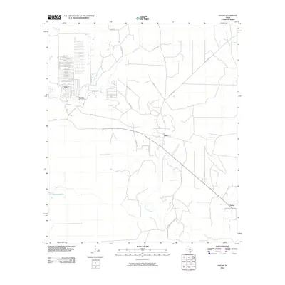
1955 Saratoga
Hardin County, TX
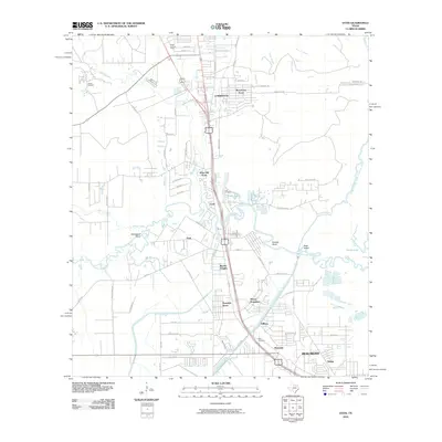
1960 Voth
Hardin County, TX
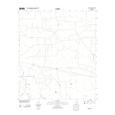
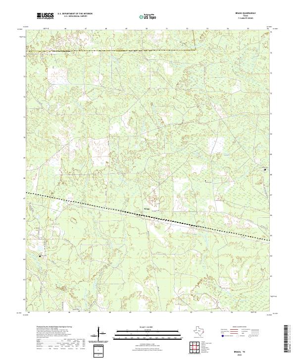
1984 Bragg
Hardin County, TX
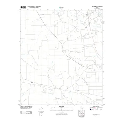
1984 Deserter Baygall
Hardin County, TX
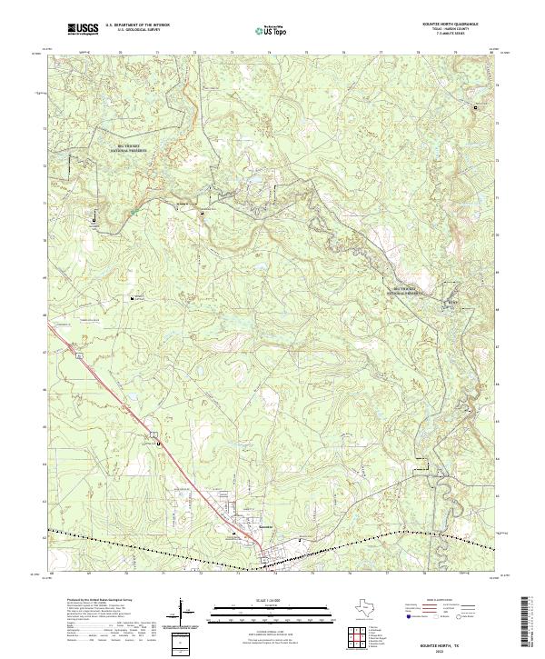
1984 Kountze North
Hardin County, TX
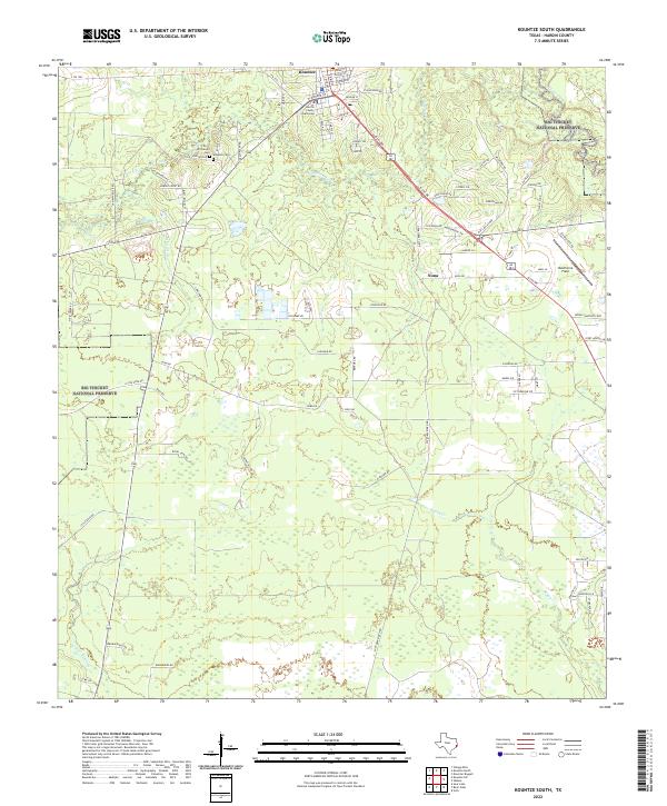
1984 Kountze South
Hardin County, TX
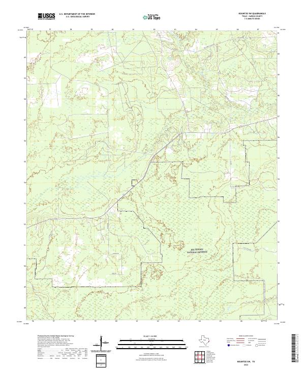
1984 Kountze SW
Hardin County, TX
1984 Saratoga
Hardin County, TX
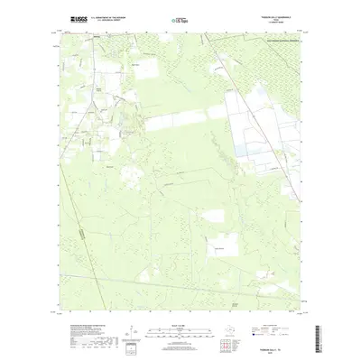
1984 Thorson Gully
Hardin County, TX
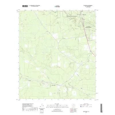
1984 Village Mills
Hardin County, TX
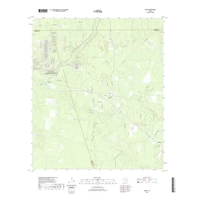
1984 Votaw
Hardin County, TX
1993 Voth
Hardin County, TX
2010 Bragg
Hardin County, TX
2010 Deserter Baygall
Hardin County, TX
2010 Kountze North
Hardin County, TX
2010 Kountze South
Hardin County, TX
2010 Kountze SW
Hardin County, TX
2010 Saratoga
Hardin County, TX
2010 Thorson Gully
Hardin County, TX
2010 Village Mills
Hardin County, TX
2010 Votaw
Hardin County, TX
2010 Voth
Hardin County, TX
2013 Bragg
Hardin County, TX
2013 Deserter Baygall
Hardin County, TX
2013 Kountze North
Hardin County, TX
2013 Kountze South
Hardin County, TX
2013 Kountze SW
Hardin County, TX
2013 Saratoga
Hardin County, TX
2013 Thorson Gully
Hardin County, TX
2013 Village Mills
Hardin County, TX
2013 Votaw
Hardin County, TX
2013 Voth
Hardin County, TX
2016 Bragg
Hardin County, TX
2016 Deserter Baygall
Hardin County, TX
2016 Kountze North
Hardin County, TX
2016 Kountze South
Hardin County, TX
2016 Kountze SW
Hardin County, TX
2016 Saratoga
Hardin County, TX
2016 Thorson Gully
Hardin County, TX
2016 Village Mills
Hardin County, TX
2016 Votaw
Hardin County, TX
2016 Voth
Hardin County, TX
2019 Bragg
Hardin County, TX
2019 Deserter Baygall
Hardin County, TX
2019 Kountze North
Hardin County, TX
2019 Kountze South
Hardin County, TX
2019 Kountze SW
Hardin County, TX
2019 Saratoga
Hardin County, TX
2019 Thorson Gully
Hardin County, TX
2019 Village Mills
Hardin County, TX
2019 Votaw
Hardin County, TX
2019 Voth
Hardin County, TX
2022 Bragg
Hardin County, TX
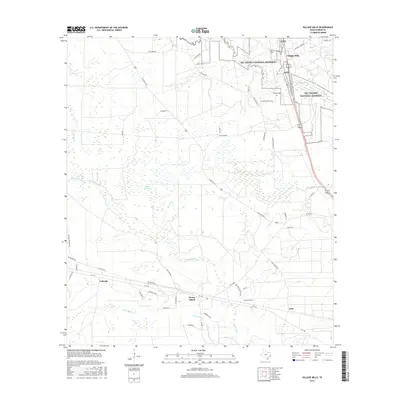
2022 Deserter Baygall
Hardin County, TX
2022 Kountze North
Hardin County, TX
2022 Kountze South
Hardin County, TX
2022 Kountze SW
Hardin County, TX
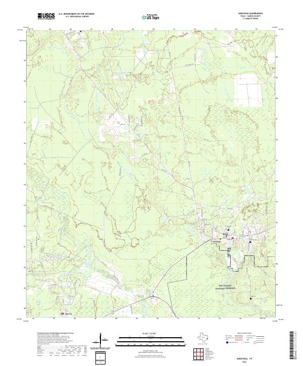
2022 Saratoga
Hardin County, TX
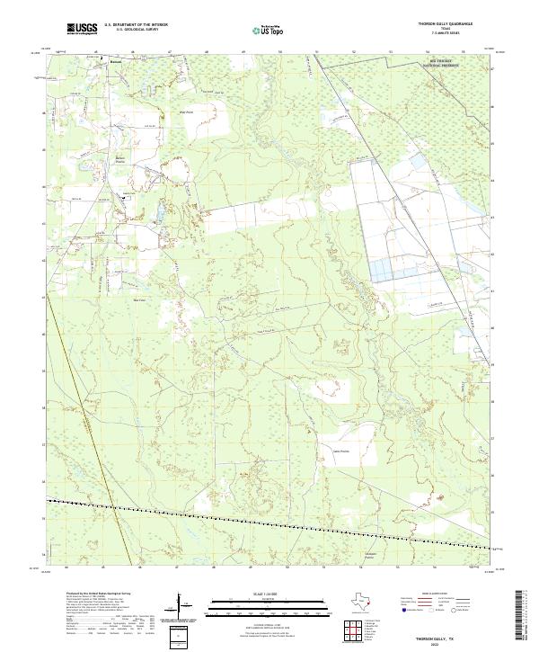
2022 Thorson Gully
Hardin County, TX
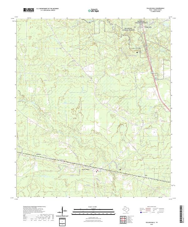
2022 Village Mills
Hardin County, TX
2022 Votaw
Hardin County, TX
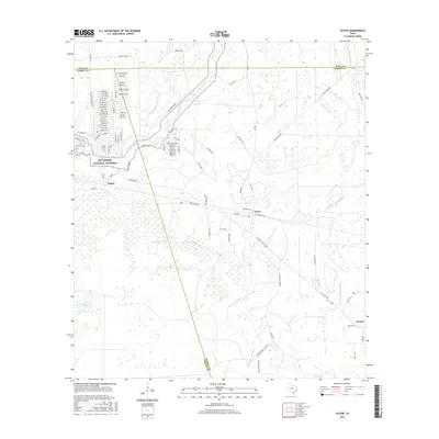
2022 Voth
Hardin County, TX