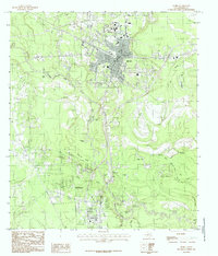
1984 Map of Silsbee
USGS Topo · Published 1985About this map
Silsbee sits at the northern end of this mid-1980s landscape, serving as a significant rail and road hub where the Atchison Topeka and Santa Fe railroad crosses multiple state highways. The geography is defined by a dense network of wetlands and oxbow lakes tracing the meandering path of Village Creek. South of the primary settlement, the growth of Lumberton is visible, situated near the high ground of Coeffield Ridge. The map reveals a complex aquatic environment featuring numerous family-named and descriptive water bodies such as Patterson Lake, Old Mill Pond, and Blue Hole. Small, named localities like Walton and Seth suggest older community nodes amidst the heavy concentration of marshes and sloughs, including Cow Marsh and the Bellrose Slough, which characterize the low-lying terrain of the Big Thicket region.
Find a feature on this map
40 named features on this map. Tap any name to fly to it.
Don’t see what you’re looking for? This feature index may not catch every label — zoom into the map to look around manually.
Map Details
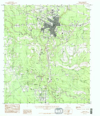
Editions of this 1984 Silsbee Map
2 editions found
Other maps of this area

1926 · Lakeview
USGS Topo · 1:24,000

1932 · Beaumont
USGS Topo · 1:62,500

1954 · Beaumont
USGS Topo · 1:250,000

1955 · Silsbee
USGS Topo · 1:62,500

1955 · Kountze
USGS Topo · 1:62,500

1955 · Sour Lake
USGS Topo · 1:62,500

1957 · Beaumont
USGS Topo · 1:250,000
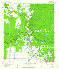
1960 · Voth
USGS Topo · 1:24,000
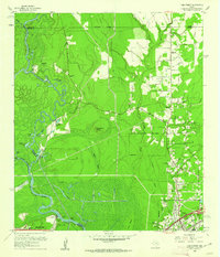
1960 · Pine Forest
USGS Topo · 1:24,000

1984 · Beaumont
USGS Topo · 1:250,000