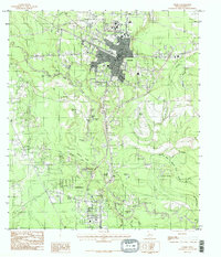
1984 Map of Silsbee
USGS Topo · Published 1985About this map
Silsbee stands as a significant hub in Southeast Texas, shown here just as the neighboring community of Lumberton began its period of late-twentieth-century residential growth. The landscape is defined by the winding course of Village Creek, which creates a complex network of oxbows, sloughs, and named ponds such as Old Mill Pond and Blue Hole. These waterways, including Bear Woods Creek and Cane Slough, illustrate the hydrology of the Piney Woods region, where the terrain transitions from established town grids into the dense wetlands of the Bear Woods Slough and Duck Marsh.
Find a feature on this map
33 named features on this map. Tap any name to fly to it.
Don’t see what you’re looking for? This feature index may not catch every label — zoom into the map to look around manually.
Map Details
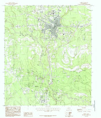
Editions of this 1984 Silsbee Map
2 editions found
Other maps of this area

1926 · Lakeview
USGS Topo · 1:24,000

1932 · Beaumont
USGS Topo · 1:62,500

1954 · Beaumont
USGS Topo · 1:250,000

1955 · Silsbee
USGS Topo · 1:62,500

1955 · Kountze
USGS Topo · 1:62,500

1955 · Sour Lake
USGS Topo · 1:62,500

1957 · Beaumont
USGS Topo · 1:250,000
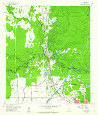
1960 · Voth
USGS Topo · 1:24,000
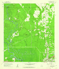
1960 · Pine Forest
USGS Topo · 1:24,000

1984 · Beaumont
USGS Topo · 1:250,000